


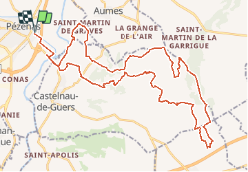

6,9 km | 8,6 km-effort


Benutzer


Kostenlosegpshiking-Anwendung
 SityTrail
IGN / Geografische Institute
SityTrail World
Die Welt öffnet sich für Sie
Tour Wandern von 30 km verfügbar auf Okzitanien, Hérault, Pézenas. Diese Tour wird von tracegps vorgeschlagen.
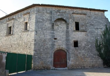
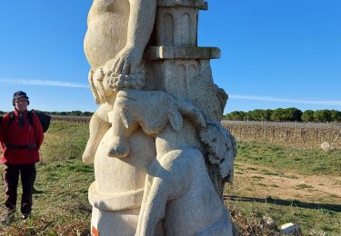
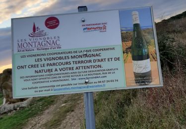
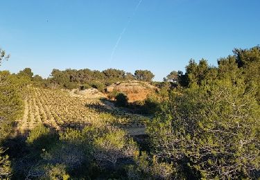
Balade dans un contexte Méditerranéen très varié en terme de paysage et très vallonné se situant essentiellement sur des sentiers. Ne pas réaliser ce circuit l'été en pleine journée et se munir d'eau non disponible sur le circuit. Circuit démarrant et finissant à PEZENAS parking gratuit a proximité des services et à enchainer avec la visite d'une très belle ville.

Wandern

Wandern
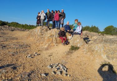
Wandern

Wandern
Zu Fuß
Wandern

Wandern
Wandern
Mountainbike