


9,6 km | 23 km-effort

Benutzer


Kostenlosegpshiking-Anwendung
 SityTrail
IGN / Geografische Institute
SityTrail World
Die Welt öffnet sich für Sie
Tour Wandern von 16,6 km verfügbar auf Provence-Alpes-Côte d'Azur, Seealpen, Belvédère. Diese Tour wird von tracegps vorgeschlagen.
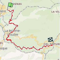
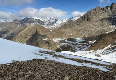
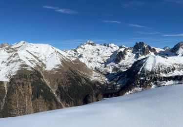
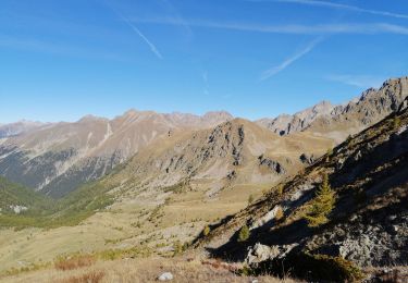
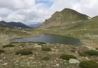
Via Alpina - D60: Belvédère > Col de Turini. Du village de Belvédère, l’itinéraire emprunte le GR 52A en balcon au-dessus de la vallée encaissée de la Vésubie en direction du village de La Bollène-Vésubie. Il entame ensuite une longue remontée à travers bois pour atteindre le col de Turini, point d’étape non loin des forts Maginot de l’Authion. Randonnée alpine (passage équipé ou très exposé, névé, blocs). Description complète de l’étape sur Via-Alpina.org.

Wandern
Schneeschuhwandern
Wandern
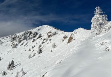
Schneeschuhwandern
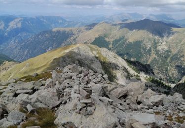
Wandern
Wandern
Wandern
Wandern
Schneeschuhwandern