


15,8 km | 25 km-effort


Benutzer


Kostenlosegpshiking-Anwendung
 SityTrail
IGN / Geografische Institute
SityTrail World
Die Welt öffnet sich für Sie
Tour Wandern von 7 km verfügbar auf Okzitanien, Lozère, Gorges du Tarn Causses. Diese Tour wird von tracegps vorgeschlagen.
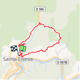
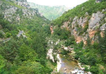
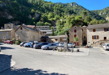
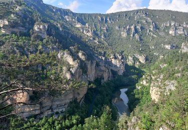
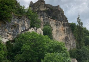
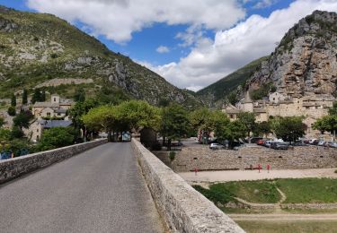
Circuit proposé par l’Office de Tourisme Gorges du Tarn – Grands Causses. Au cœur des gorges du Tarn, partez découvrir le patrimoine de cette jolie citée médiévale. Nombreux panoramas sur les gorges et sur les Cévennes. Sainte-Enimie fait partie des «Plus beaux villages de France». Départ du parking du collège Pierre-Delmas (Haut du village). Retrouvez le circuit sur le site de de Tourisme Gorges du Tarn – Grands Causses.


Wandern
Wandern

Wandern
Wandern
Wandern
Wandern
Wandern

Wandern
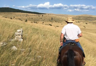
Pferd
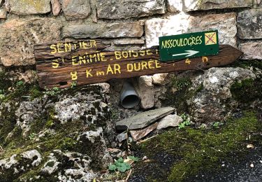
ST Enimie boucle de 7km montée 400m descente 400m
Manque de convivialité et de réactivité hors connexion