


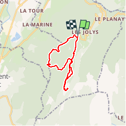

11,1 km | 17,4 km-effort

Benutzer


Kostenlosegpshiking-Anwendung
 SityTrail
IGN / Geografische Institute
SityTrail World
Die Welt öffnet sich für Sie
Tour Wandern von 11,9 km verfügbar auf Auvergne-Rhone-Alpen, Isère, Saint-Christophe-sur-Guiers. Diese Tour wird von bruno.saget vorgeschlagen.
Sentier raquette rouge (3) au début jusqu au col de l Allienard. Puis sentier raquette bleu (2) pour retour, sans passer par le col de la Ruchere.
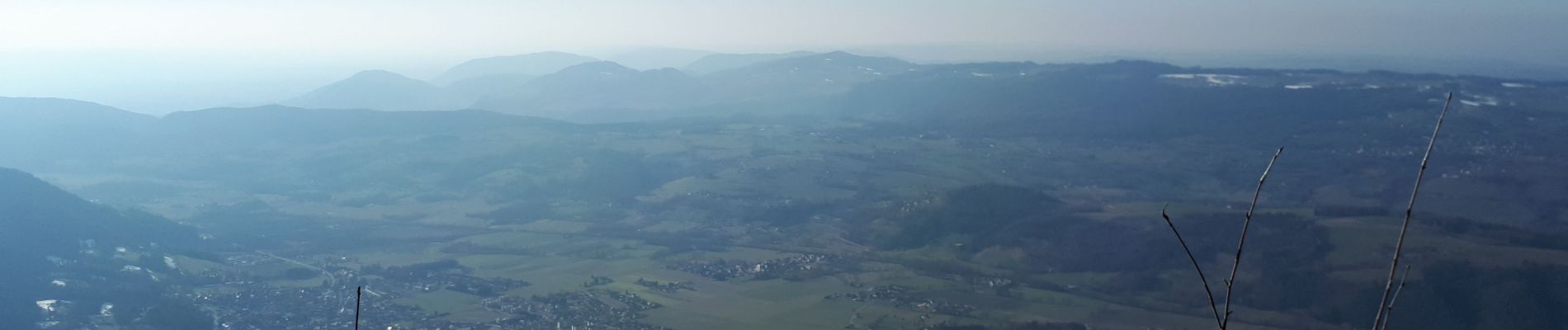
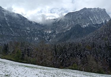
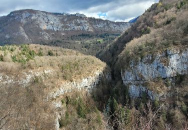
Magnifique vues sur Grand Som et Petit Som. Pas besoin de raquettes car neige tassée.


Schneeschuhwandern

Wandern

Wandern

Wandern

Wandern

sport
Wandern
Wandern
Wandern