Tour Zu Fuß Eyguières - Le Mont Menu - Photo
 morthy25
morthy25

Benutzer

© OpenStreetMap contributors
Länge
Länge
6,1 km
Maximale Höhe
Maximale Höhe
224 m
Positive Höhendifferenz
144 m
Km-Effort
Km-Effort  
8,1 km
Min. Höhe
Min. Höhe
97 m
Negative Höhendifferenz
144 m
Boucle
Boucle
Ja
Erstellungsdatum :
2019-03-03 11:05:52.0
Letzte Änderung :
2019-03-03 17:20:11.494

(0 Nachricht)

Zu Fuß
Zu Fuß
2h00
Schwierigkeit : Einfach

Scannen Sie diesen QR-Code, um die Tour in der SityTrail-Anwendung zu öffnen

Kostenlosegpshiking-Anwendung

Logo SityTrail SityTrail

IGN / Geografische Institute

SityTrail aus dem App Store herunterladen SityTrail von Google Play herunterladen

Logo SityTrail SityTrail World

Die Welt öffnet sich für Sie

SityTrail aus dem App Store herunterladen SityTrail von Google Play herunterladen SityTrail auf Huawei AppGallery herunterladen

Über SityTrail

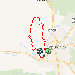
Tour Zu Fuß von 6,1 km verfügbar auf Provence-Alpes-Côte d'Azur, Bouches-du-Rhône, Eyguières. Diese Tour wird von morthy25 vorgeschlagen.

Beschreibung

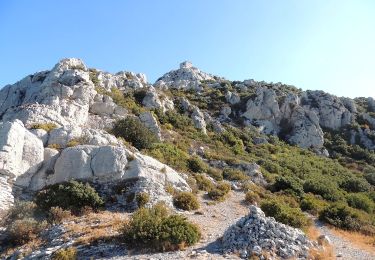
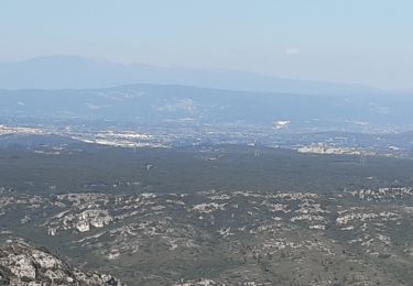
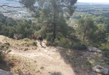
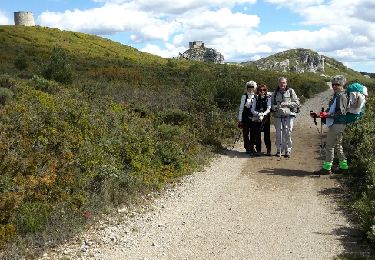
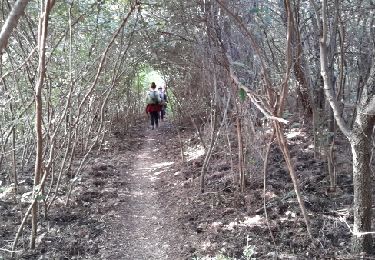
Promenade sur le Mont Menu, en dehors des sentiers battus.
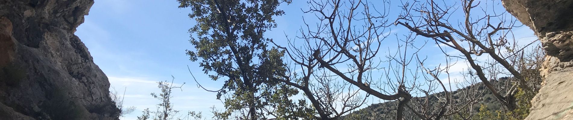
Attention, ni jupe, ni short ! Les chênes Kermesses sont redoutables.

Höhenprofil

Foto-Galerie

Ort

Land:
France
Region :
Provence-Alpes-Côte d'Azur
Abteilung/Provinz :
Bouches-du-Rhône
Kommune :
Eyguières
Standort:
Unknown
Gehen Sie:(Dec)
Gehen Sie:(UTM)
663007 ; 4839488 (31T) N.

Touren in der Umgebung

Tour Wandern Lamanon - lamanon grottes calas - Photo
Wandern
vorthex

Wandern

Sehr leicht
(1)
Lamanon, Provence-Alpes-Côte d'Azur, Bouches-du-Rhône, France
9,7 km | 13 km-effort
2h 38min
Nein
Tour Wandern Eyguières - La Tour des Opies - Photo
Wandern
HaschKnight

Wandern

Schwierig
Eyguières, Provence-Alpes-Côte d'Azur, Bouches-du-Rhône, France
11,6 km | 16,9 km-effort
3h 33min
Ja
Tour Wandern Lamanon - Lamanon Cales Facile - Photo
Wandern
hervef13300

Wandern

Einfach
(1)
Lamanon, Provence-Alpes-Côte d'Azur, Bouches-du-Rhône, France
6,2 km | 8,9 km-effort
1h 30min
Ja
Tour Wandern Eyguières - Tour des Opies par les Barres Rouges - Photo
Wandern
counoise

Wandern

Medium
Eyguières, Provence-Alpes-Côte d'Azur, Bouches-du-Rhône, France
8,8 km | 14,1 km-effort
2h 52min
Ja
Tour Wandern Lamanon - lamanon - Photo
Wandern
esperandieu

Wandern

Medium
Lamanon, Provence-Alpes-Côte d'Azur, Bouches-du-Rhône, France
14,3 km | 19,4 km-effort
6h 18min
Ja
Tour Wandern Lamanon - PF-Lamanon - Le Mur aux Abeilles - Photo
Wandern
MicDul

Wandern

Medium
Lamanon, Provence-Alpes-Côte d'Azur, Bouches-du-Rhône, France
6,5 km | 9,1 km-effort
2h 23min
Ja
Tour Wandern Eyguières - eyguiers - Photo
Wandern
jo-ba

Wandern

Einfach
Eyguières, Provence-Alpes-Côte d'Azur, Bouches-du-Rhône, France
14,3 km | 17,6 km-effort
5h 10min
Ja
Tour Wandern Eyguières - eyguieres - Photo
Wandern
jo-ba

Wandern

Sehr leicht
Eyguières, Provence-Alpes-Côte d'Azur, Bouches-du-Rhône, France
15,2 km | 19,5 km-effort
5h 50min
Ja
Tour Wandern Eyguières - PF-Eyguières - Le Vallon des Glauges - Photo
Wandern
MicDul

Wandern

Sehr leicht
Eyguières, Provence-Alpes-Côte d'Azur, Bouches-du-Rhône, France
8,4 km | 9,6 km-effort
2h 9min
Ja


Schließen
Meine Abonnements