


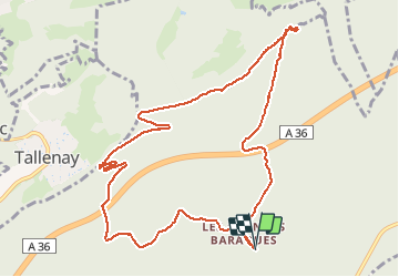


13,4 km | 17,7 km-effort

Benutzer


Kostenlosegpshiking-Anwendung
 SityTrail
IGN / Geografische Institute
SityTrail World
Die Welt öffnet sich für Sie
Tour Wandern von 11,2 km verfügbar auf Burgund und Freigrafschaft, Doubs, Besançon. Diese Tour wird von sylpiq vorgeschlagen.
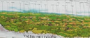
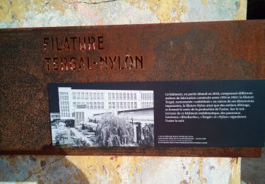
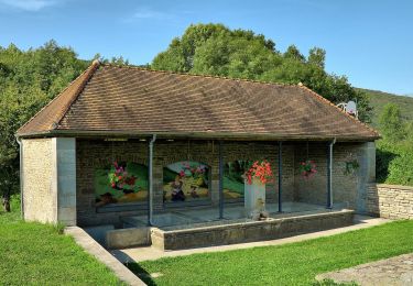
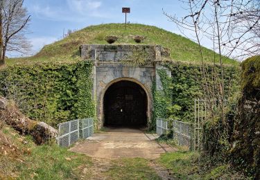
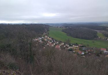
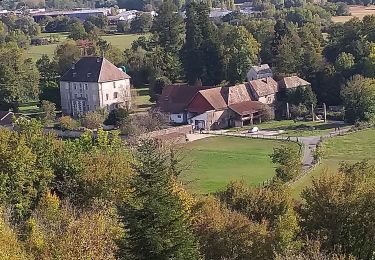
Départ du parking des Grandes Baraques (forêt de Chailluz) - Montée pour le Fort de la dame blanche sportive, puis parcours beaucoup plus facile. Superbe point de vue sur la vallée de l'Ognon.


Wandern
Zu Fuß
Zu Fuß

Wandern
Wandern
Wandern
Wandern
Zu Fuß
Zu Fuß
Très bien expliqué
Très bonne ballade à faire en famille