


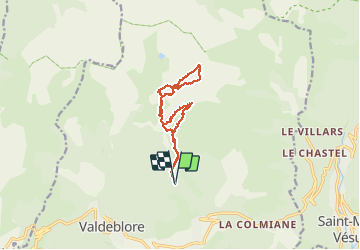

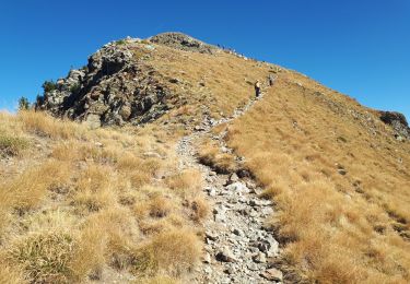
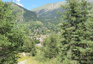
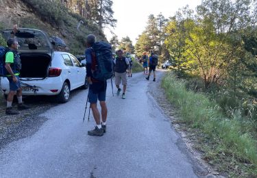
7,8 km | 16,3 km-effort

Benutzer


Kostenlosegpshiking-Anwendung
 SityTrail
IGN / Geografische Institute
SityTrail World
Die Welt öffnet sich für Sie
Tour Skiwanderen von 12,8 km verfügbar auf Provence-Alpes-Côte d'Azur, Seealpen, Valdeblore. Diese Tour wird von nadd73 vorgeschlagen.
De millefond par col de Veillos Sommet de Pèpoiri descente Sud avec petit couloir repeauter et monter à l'anticime de Petoumier.
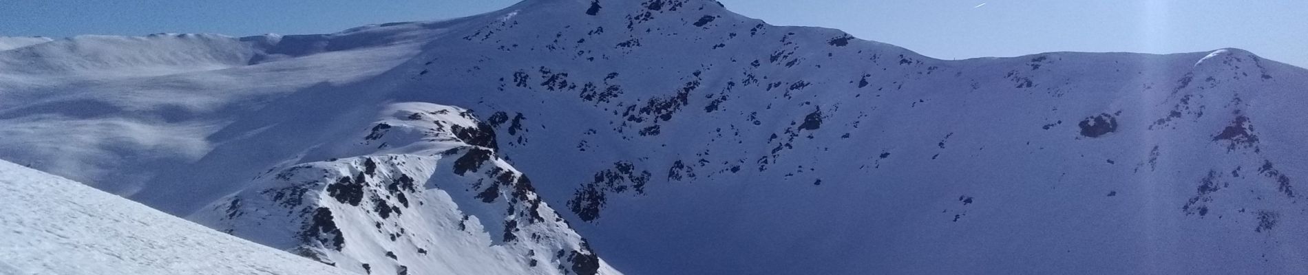
Super neige !


Wandern

Wandern
Zu Fuß

Zu Fuß
Wandern
Wandern

Wandern
Wandern

Wandern