


7.8 km | 16.3 km-effort

User GUIDE


FREE GPS app for hiking
 SityTrail
IGN / Geographical institutes
SityTrail World
The world is yours!
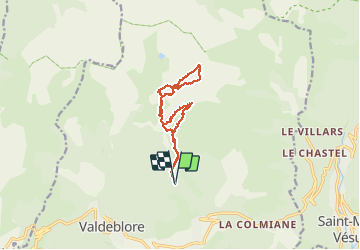
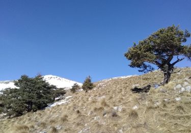
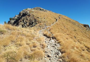
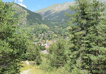
Trail Touring skiing of 12.8 km to be discovered at Provence-Alpes-Côte d'Azur, Maritime Alps, Valdeblore. This trail is proposed by nadd73.
De millefond par col de Veillos Sommet de Pèpoiri descente Sud avec petit couloir repeauter et monter à l'anticime de Petoumier.
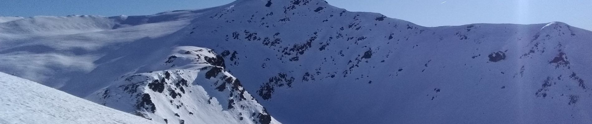
Super neige !


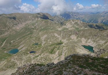
Walking

Walking

On foot

On foot
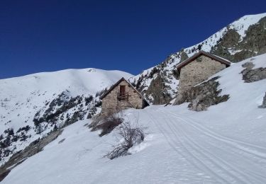
Touring skiing
Touring skiing
Walking
Walking
Walking