


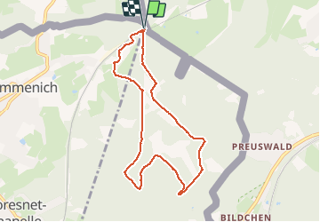


9,6 km | 12,1 km-effort

Benutzer GUIDE


Kostenlosegpshiking-Anwendung
 SityTrail
IGN / Geografische Institute
SityTrail World
Die Welt öffnet sich für Sie
Tour Wandern von 7,3 km verfügbar auf Wallonien, Lüttich, Kelmis. Diese Tour wird von pierreh01 vorgeschlagen.
Très jolie balade, entièrement sur le territoire belge, presque exclusivement en forêt et sur sentier.
Dénivelés respectables à gravir à son rythme.
Finale digne de sentiers montagnards.
Par temps de pluie, sentiers plus dangereux.


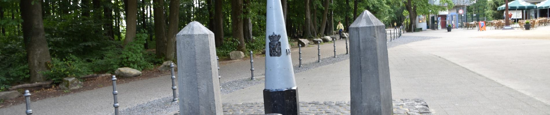
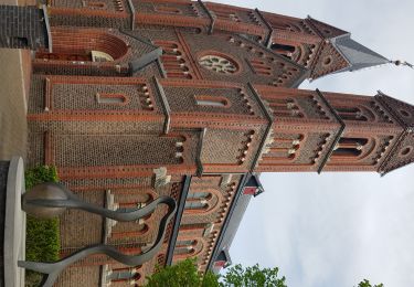
28 Fotos insgesamt. Klicken Sie auf ein Foto, um sie alle in der Galerie zu sehen.

Wandern

Wandern

Wandern
Wandern

Wandern

Wandern

Wandern

Wandern

Wandern