


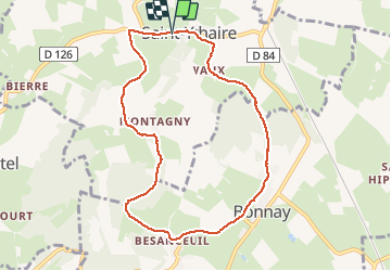

12,3 km | 17,2 km-effort

Benutzer


Kostenlosegpshiking-Anwendung
 SityTrail
IGN / Geografische Institute
SityTrail World
Die Welt öffnet sich für Sie
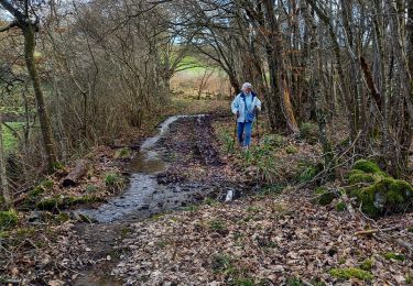
Tour Wandern von 8,4 km verfügbar auf Burgund und Freigrafschaft, Saône-et-Loire, Saint-Ythaire. Diese Tour wird von margotjl vorgeschlagen.
Très jolie rando qui vous permettra de découvrir de magnifiques villages tout particulièrement Besanceuil


Wandern

Wandern
Wandern

Mountainbike
Wandern
Wandern
Wandern
Wandern
Wandern