


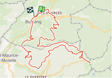

15 km | 24 km-effort

Benutzer GUIDE


Kostenlosegpshiking-Anwendung
 SityTrail
IGN / Geografische Institute
SityTrail World
Die Welt öffnet sich für Sie
Tour Mountainbike von 30 km verfügbar auf Großer Osten, Vogesen, Büssing. Diese Tour wird von pascalou73 vorgeschlagen.
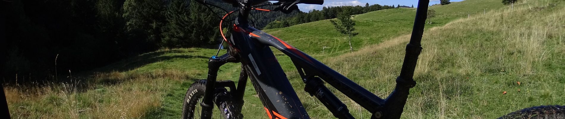
Voilà une belle randonnée de la région des haute VOSGES ici une sortie avec un VTTAE pour voir la différence . le top .une randonnée très variée sur une très belle région pour faire du VTT..
camping
https://domaine-de-champe.fr/
location de VTT
https://www.ebikeoxygen.fr/


Wandern

Schneeschuhwandern

Wandern

Wandern

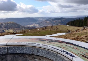
Mountainbike

Mountainbike
Wandern
Zu Fuß
Zu Fuß