


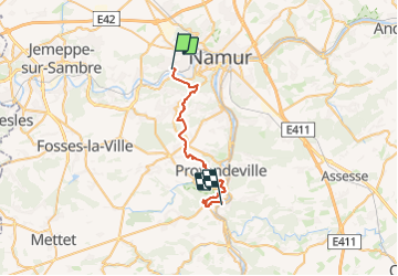


19,9 km | 25 km-effort


Randonnez sur et autour des GR ® wallons (Sentiers de Grande Randonnée). PRO


Kostenlosegpshiking-Anwendung
 SityTrail
IGN / Geografische Institute
SityTrail World
Die Welt öffnet sich für Sie
Tour Wandern von 26 km verfügbar auf Wallonien, Namur, Namen. Diese Tour wird von GR Rando vorgeschlagen.
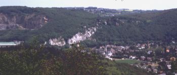
La Sambre, «rivière tranquille », prend sa source en France, dans la forêt de Nouvion (GR 122). Elle
pénètre en Belgique près d’Erquelinnes et arrose Thuin (GR 129) et Charleroi. Elle conflue avec
la Meuse à la pointe du Grognon, sous la citadelle de Namur (GR 126 et liaison du GR 575/576).
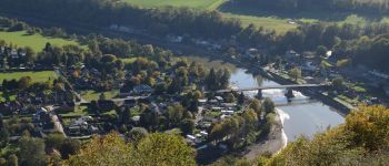
Entretemps, elle reçoit les eaux de l’Eau d’Heure (barrages, GR 12 et GR 125), du Piéton (canal
GR Rando 37 ®P125 et GR® 126
141
Topo-Guide - De gare à gare - T2 Province de Namur - 37
de Bruxelles, GR 12) et de l’Orneau (GR 126). Canalisée et modernisée pour permettre le passage
des péniches de 1 350 tonnes, la Sambre est reliée au bassin de l’Escaut via le plan incliné de
Ronquières (GR 12) et au réseau fluvial français via l’ascenseur de Strépy-Thieu, sur le canal du
Centre (GR 121).
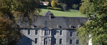
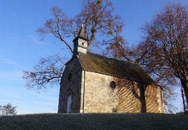
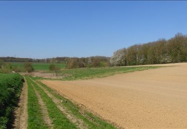
 - Photo 1")
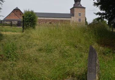
 - Photo 2")
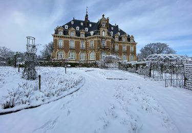
 - Photo 3")
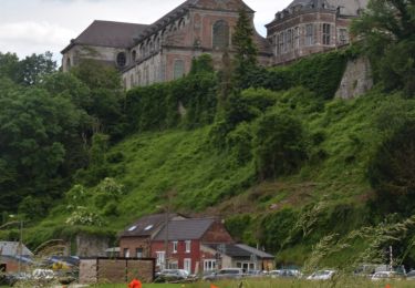
 - Photo 4")
 - Photo 5")
 - Photo 6")
Wandern

Wandern

Wandern
Wandern
Wandern

Wandern

Wandern
Wandern
Wandern