


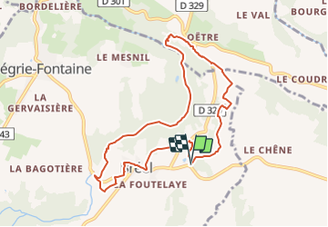


9,7 km | 12,4 km-effort

Tous les sentiers balisés d’Europe PRO


Kostenlosegpshiking-Anwendung
 SityTrail
IGN / Geografische Institute
SityTrail World
Die Welt öffnet sich für Sie
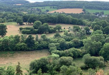
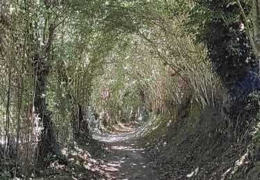
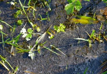
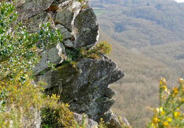
Tour Zu Fuß von 8,6 km verfügbar auf Normandie, Orne, Athis-Val-de-Rouvre. Diese Tour wird von SityTrail - itinéraires balisés pédestres vorgeschlagen.


Wandern
Wandern
Wandern
Wandern
Wandern
Zu Fuß
Zu Fuß
Zu Fuß
Zu Fuß