


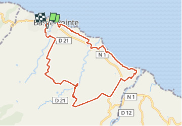


13,2 km | 16,5 km-effort

Benutzer GUIDE


Kostenlosegpshiking-Anwendung
 SityTrail
IGN / Geografische Institute
SityTrail World
Die Welt öffnet sich für Sie
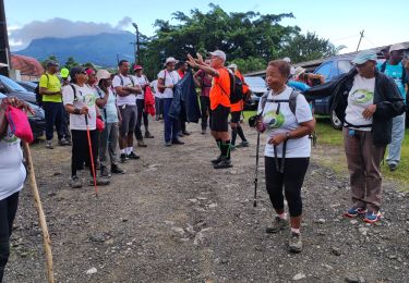
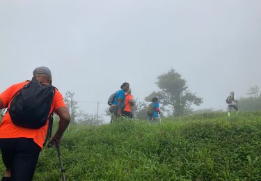
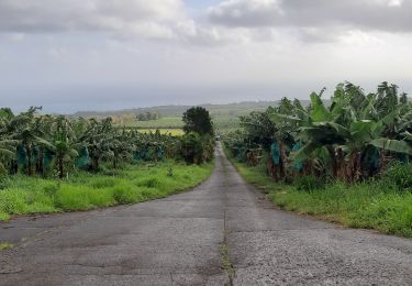
Tour Wandern von 14,1 km verfügbar auf Martinique, Unbekannt, Basse-Pointe. Diese Tour wird von GabyG vorgeschlagen.
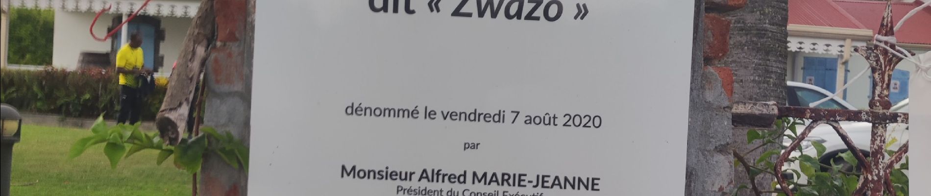
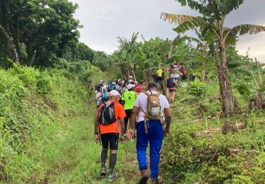
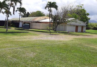
Grande randonnée dans les plantations et habitations de Basse pointe. Habituer de la randonnée et l'histoire des Hbt traversées !


27 Fotos insgesamt. Klicken Sie auf ein Foto, um sie alle in der Galerie zu sehen.
Wandern
Wandern
Wandern
Wandern
Wandern
Wandern
Wandern
Wandern
Wandern