


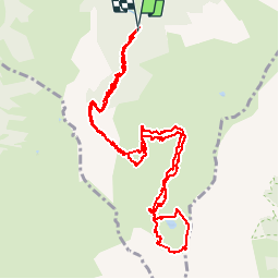

5,7 km | 8,2 km-effort

Benutzer


Kostenlosegpshiking-Anwendung
 SityTrail
IGN / Geografische Institute
SityTrail World
Die Welt öffnet sich für Sie
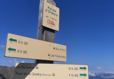
Tour Wandern von 14,5 km verfügbar auf Auvergne-Rhone-Alpen, Hochsavoyen, Manigod. Diese Tour wird von myjackotte vorgeschlagen.
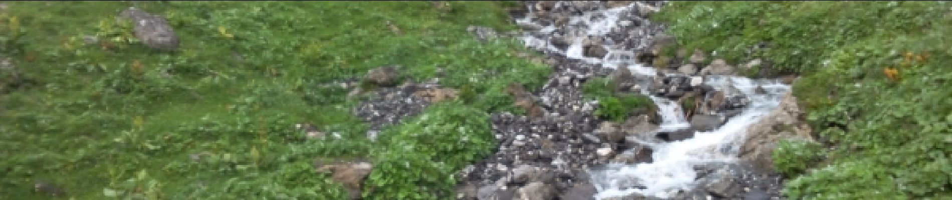
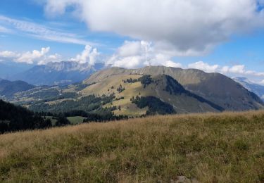
après un début dans les bois nous poursuivons à travers les alpages ou nous croisons vaches chèvres et moutons.
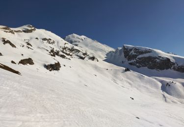
malheureusement ce sera sous la pluie pour une partie du chemin et très froid autour du lac


Schneeschuhwandern

Wandern

Motor
Wandern
Schneeschuhwandern
Wandern
Wandern
Skiwanderen
Wandern