


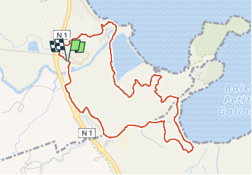


5,7 km | 7,6 km-effort


Benutzer GUIDE


Kostenlosegpshiking-Anwendung
 SityTrail
IGN / Geografische Institute
SityTrail World
Die Welt öffnet sich für Sie
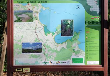
Tour Wandern von 7,9 km verfügbar auf Martinique, Unbekannt, La Trinité. Diese Tour wird von GabyG vorgeschlagen.
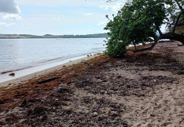
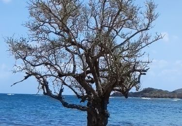
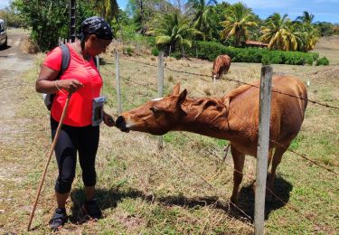
Belle boucle de randonnée autour de l'usine de galion. via pointe jean Claude avec petit crochet au domaine de l'Eden.


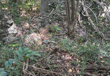
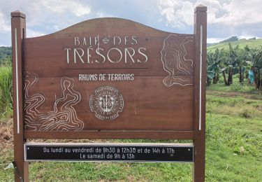
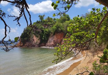
29 Fotos insgesamt. Klicken Sie auf ein Foto, um sie alle in der Galerie zu sehen.

Wandern
Wandern

sport
Wandern
Wandern
Wandern
Wandern
Wandern
Wandern