


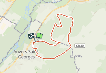

18,3 km | 22 km-effort

Benutzer


Kostenlosegpshiking-Anwendung
 SityTrail
IGN / Geografische Institute
SityTrail World
Die Welt öffnet sich für Sie
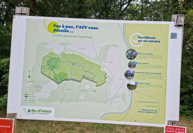
Tour Wandern von 8,3 km verfügbar auf Île-de-France, Essonne, Auvers-Saint-Georges. Diese Tour wird von guydu41 vorgeschlagen.
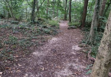
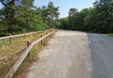
Beau circuit principalement sur des chemins et sentiers à travers bois.
Possibilité de faire un petit crochet pour admirer de très beaux chevaux d'un haras.


Wandern

Wandern

Mountainbike

Zu Fuß

Wandern
Zu Fuß
Wandern
Wandern
Wandern