


15,1 km | 17,2 km-effort

Benutzer


Kostenlosegpshiking-Anwendung
 SityTrail
IGN / Geografische Institute
SityTrail World
Die Welt öffnet sich für Sie
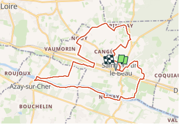
Tour Wandern von 23 km verfügbar auf Zentrum-Loiretal, Indre-et-Loire, Saint-Martin-le-Beau. Diese Tour wird von Orcal37 vorgeschlagen.
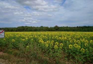
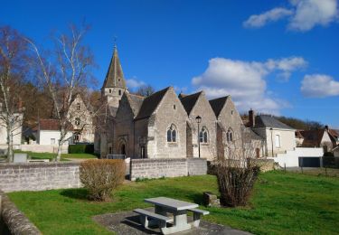
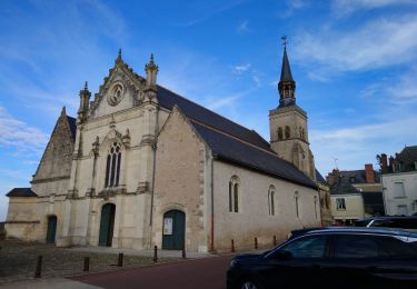
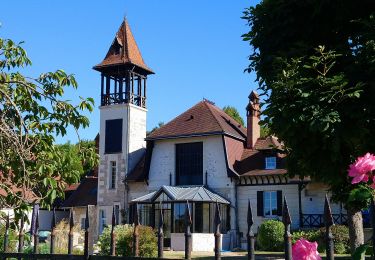
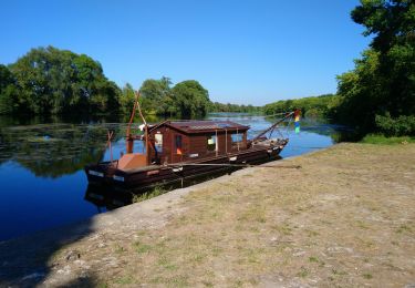
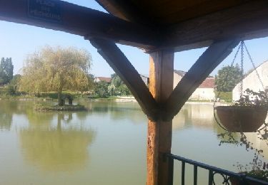
Saint-Martin-le-Beau - Nitray - GR41 - Azay-sur-Cher - lavoirs vignes plaines forêts le Cher - 23.2km 185m 5h15 (40mn) - 2023 10 04
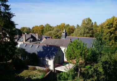
 - 2023 10 04 - Photo 1")
 - 2023 10 04 - Photo 2")
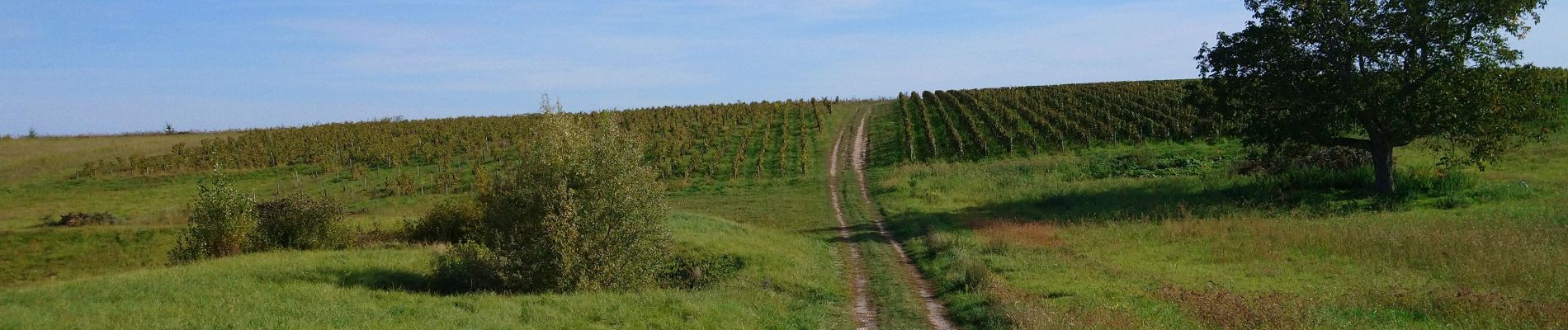
 - 2023 10 04 - Photo 3")
 - 2023 10 04 - Photo 4")
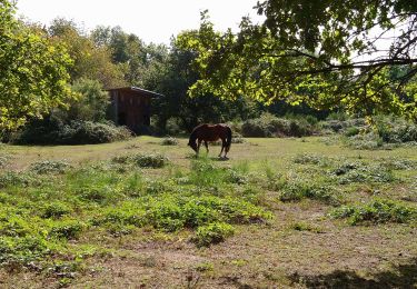
 - 2023 10 04 - Photo 5")
 - 2023 10 04 - Photo 6")
 - 2023 10 04 - Photo 7")
 - 2023 10 04 - Photo 8")
 - 2023 10 04 - Photo 9")
 - 2023 10 04 - Photo 10")
 - 2023 10 04 - Photo 11")
 - 2023 10 04 - Photo 12")
 - 2023 10 04 - Photo 13")
 - 2023 10 04 - Photo 14")
Wandern
Wandern
Wandern
Wandern
Wandern
Wandern
Wandern

Wandern
Wandern