


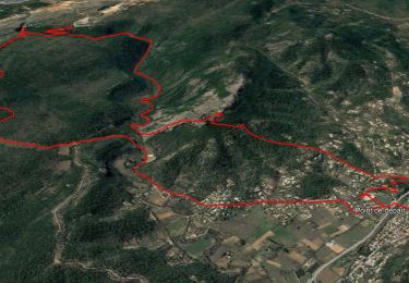
12,6 km | 17,6 km-effort

Benutzer


Kostenlosegpshiking-Anwendung
 SityTrail
IGN / Geografische Institute
SityTrail World
Die Welt öffnet sich für Sie
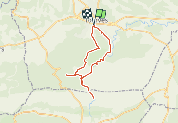
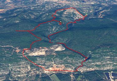
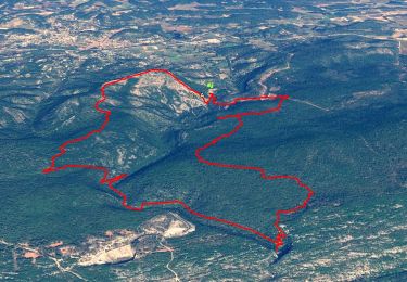
Tour Wandern von 14,1 km verfügbar auf Provence-Alpes-Côte d'Azur, Var, Tourves. Diese Tour wird von FSantoni vorgeschlagen.
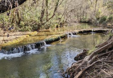
Bonne nouvelle, le Caramy coule bien !
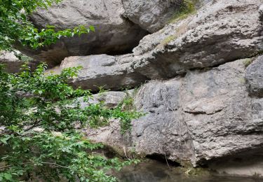
La dernière partie vers le saut de Cabri est plutot périlleuse. Nous avons donc décidé de faire demi-tour à ce moment là et de renoncer à la remontée initialement prévue vers le GR99.


Wandern

Wandern
Wandern
Wandern
Wandern
Wandern
Wandern

Wandern
Wandern