


12,5 km | 19,3 km-effort

Benutzer


Kostenlosegpshiking-Anwendung
 SityTrail
IGN / Geografische Institute
SityTrail World
Die Welt öffnet sich für Sie
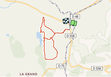
Tour Nordic Walking von 7,9 km verfügbar auf Provence-Alpes-Côte d'Azur, Var, Le Cannet-des-Maures. Diese Tour wird von alainsci vorgeschlagen.
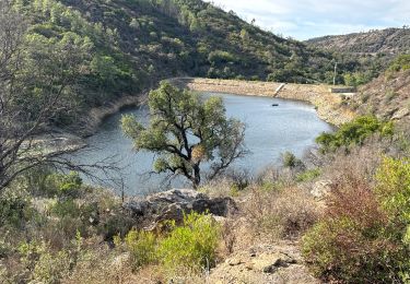
petite ballade tranquille proche du lac des escarcets- difficulté : au Nord vallon des escarcets, la rivière peut être difficile à franchir en cas de crue.
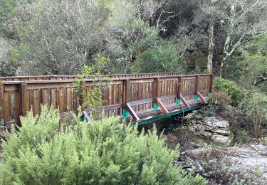
 peguière - vallon des escarcets - vallon des mines - Photo 1")
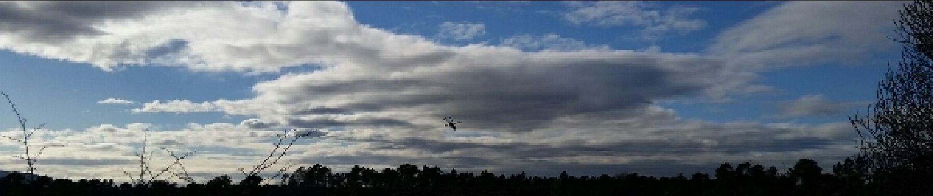
 peguière - vallon des escarcets - vallon des mines - Photo 2")
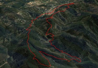
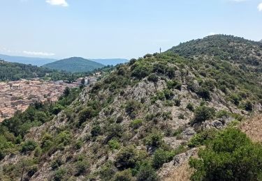
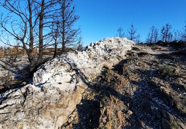
 peguière - vallon des escarcets - vallon des mines - Photo 3")
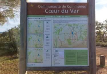
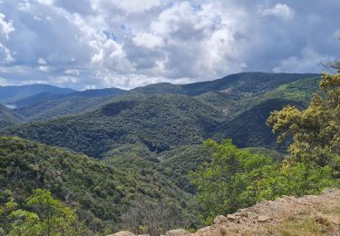
 peguière - vallon des escarcets - vallon des mines - Photo 4")
Wandern

Wandern

Wandern
Wandern
Wandern
Wandern
Zu Fuß
Rennrad
Wandern