


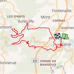


22 km | 29 km-effort


Feel your nature !


Kostenlosegpshiking-Anwendung
 SityTrail
IGN / Geografische Institute
SityTrail World
Die Welt öffnet sich für Sie
Tour Laufen von 18,9 km verfügbar auf Wallonien, Luxemburg, Hohenfels. Diese Tour wird von Le Challenge Haute-Ardenne de Trail vorgeschlagen.
Dimanche 28 août 2016 - Départ à 9h30 - Plus d'infos et inscription : http://www.jogging-houffalize.be/
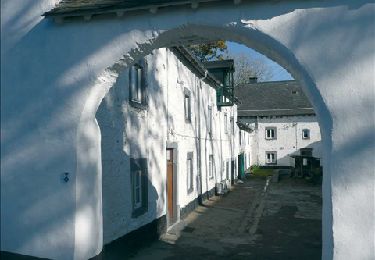
Wandern
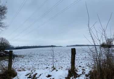
Wandern
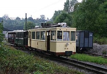
Wandern
Wandern
Wandern
Wandern
Wandern
Wandern
Wandern