


11.6 km | 15.6 km-effort
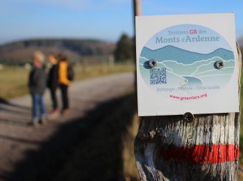
Vielsalm: Discover the best trails: 23 on foot, 264 walking, 9 nordic walking, 23 running and 5 trail. All these trails, routes and outdoor activities are available in our SityTrail applications for smartphones and tablets.
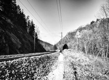
Walking


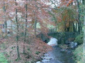
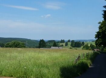
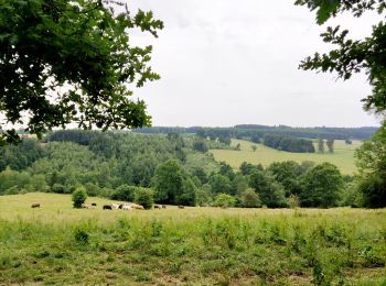
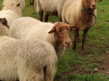
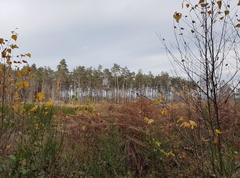
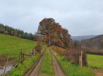
• Vielsalm possède des paysages magnifiques et une nature variée : les fagnes du plateau des Tailles, le Grand Bois de ...
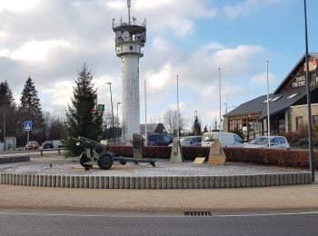
Walking
Walking
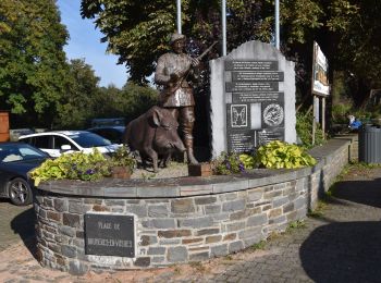
Walking
Walking
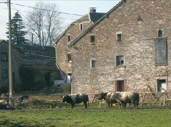
• Bèche, Cierreux, Rogery, Grand Bois de Bovigny, BècheCartographie et documentation :Cartes IGN au 1 : 20 000, 56/1-2 ...
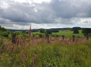
Walking
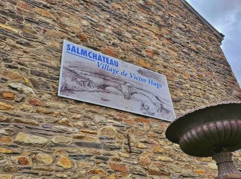
• Vielsalm, Salmchâteau, Cierreux, Rogery, Grand Bois de Bovigny, Tier des Carrières, Vielsalm Cartographie et documen...
Walking
Walking
Walking
Walking
Walking
Walking
On foot
• Symbol: diamond
On foot
• Trail created by Office du Tourisme Vielsalm. Symbol: rectangle
Walking
Walking
On foot
Walking
Walking
Walking
20 trails displayed on 323
FREE GPS app for hiking
 SityTrail
IGN / Geographical institutes
SityTrail World
The world is yours!