


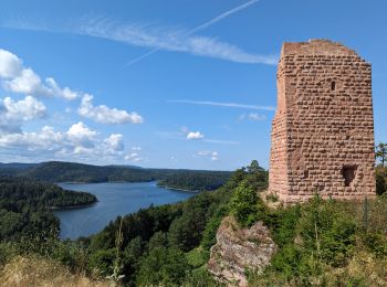
7.3 km | 8.6 km-effort
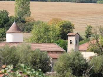
Meurthe-et-Moselle: Discover the best trails: 102 on foot, 2563 walking, 229 nordic walking, 112 running and 36 trail. All these trails, routes and outdoor activities are available in our SityTrail applications for smartphones and tablets.

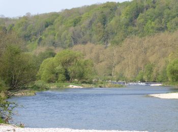
Walking


• ...
Walking
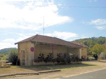
Walking
Walking
Walking

Running
•

Walking
Walking
On foot
• Trail created by Club Alpin. Symbol: disque bleu
On foot
• Symbol: anneau bleu
On foot
• Trail created by Les Randonneurs du Sânon et du Lunévillois.
On foot
• Trail created by Les Randonneurs du Saintois. Website: http://rando.meurthe-et-moselle.fr/carte_toul.html
On foot
• Trail created by Association Intercommunale des Sentiers de la Mirabelle.
On foot
• Trail created by Club Alpin Français de Nancy.
On foot
• Trail created by ARSEM.
On foot
• Trail created by PAM Rando.
On foot
• Trail created by Les Randonneurs du Saintois.
On foot
• Trail created by Association intercommunale des Sentiers de la Mirabelle.
On foot
• Trail created by Randonneurs du Saintois.
On foot
• Trail created by Randonneurs du Saintois.
20 trails displayed on 3037
FREE GPS app for hiking
 SityTrail
IGN / Geographical institutes
SityTrail World
The world is yours!