


7.3 km | 10.1 km-effort
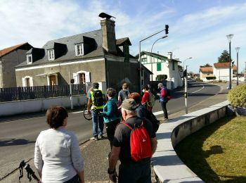
Rontignon: Discover the best trails: 2 on foot and 6 walking. All these trails, routes and outdoor activities are available in our SityTrail applications for smartphones and tablets.
Walking


Walking
Walking
Walking

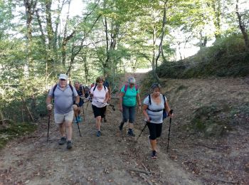
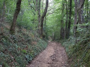
On foot
On foot
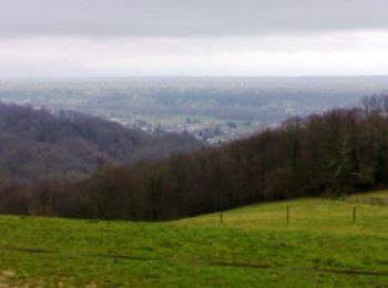
• Si vous avez envie de vous sentir au bout du monde à quelques kilomètres de Pau, prenez ce départ. Départ : Parking ...

Walking
Walking
8 trails displayed on 8
FREE GPS app for hiking
 SityTrail
IGN / Geographical institutes
SityTrail World
The world is yours!