


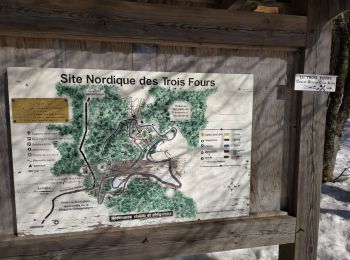
7.7 km | 11.2 km-effort
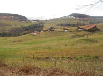
Vosges: Discover the best trails: 3 winter sports, 48 cross-country skiing, 11 touring skiing, 223 snowshoes and 1 sled dogs. All these trails, routes and outdoor activities are available in our SityTrail applications for smartphones and tablets.
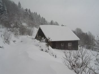
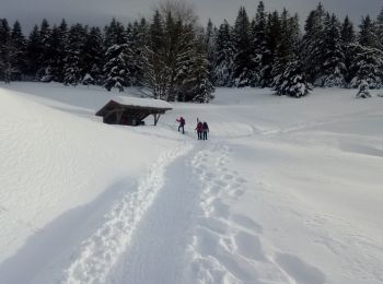
Snowshoes


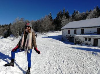
Snowshoes
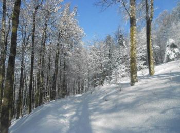
Snowshoes
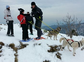
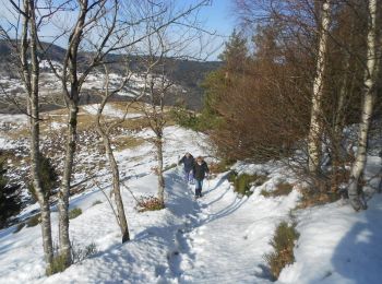
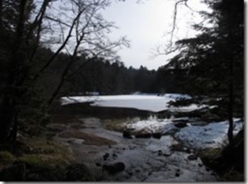
Snowshoes
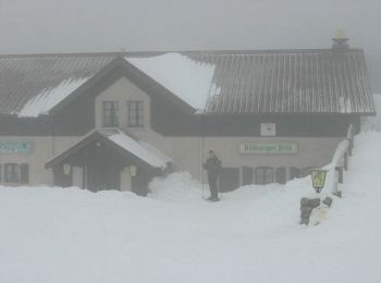
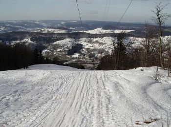
Cross-country skiing
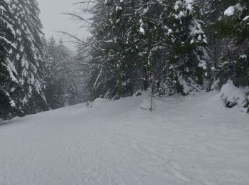
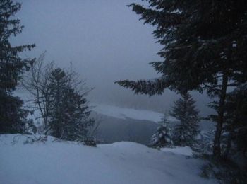
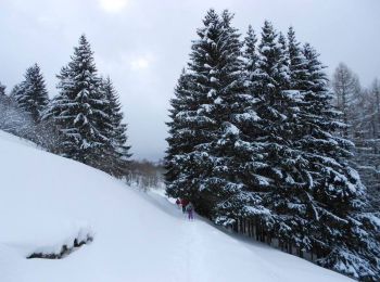
Snowshoes
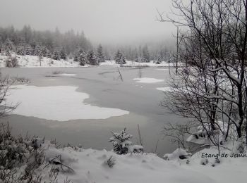
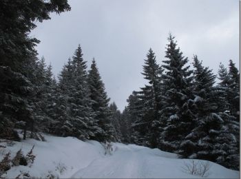
Snowshoes
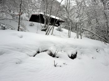
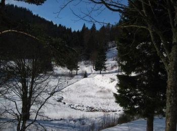
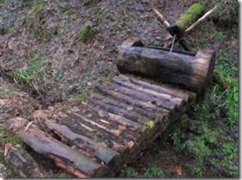
Snowshoes
• File with points/tracks from Locus Map/3.50.1
Snowshoes
Snowshoes
Snowshoes
Snowshoes
Snowshoes
Snowshoes
Snowshoes
Snowshoes
Snowshoes
Snowshoes
Snowshoes
Snowshoes
20 trails displayed on 285
FREE GPS app for hiking
 SityTrail
IGN / Geographical institutes
SityTrail World
The world is yours!