


24 km | 31 km-effort
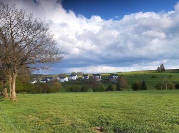
Neufchâteau: Discover the best trails: 147 hiking trails, 30 bike and mountain-bike routes and 15 equestrian circuits. All these trails, routes and outdoor activities are available in our SityTrail applications for smartphones and tablets.

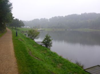
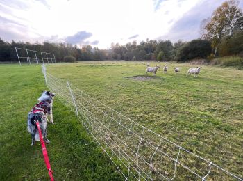
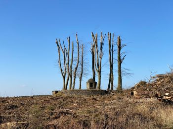
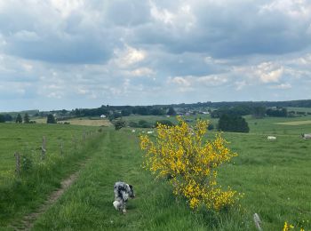
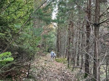
Walking


Walking
Walking
Walking
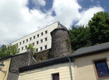
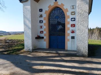
• La randonnée prend son départ au Moulin Klepper, bâtisse restaurée du XVIIIe siècle. En traversant forêts et prairies...
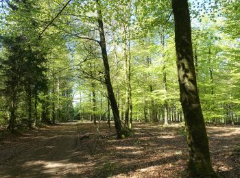
On foot
• Trail created by OT Neufchâteau +32 489 20 18 89. Symbol: triangle rectangle vert sur fond blanc Website: https://...
On foot
• Voir petite promenade paysagère de la Rosière. Balade en circuit court
Walking
Walking
Walking
Walking
Walking

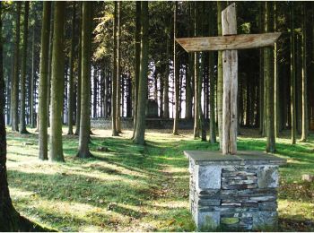
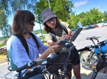
Mountain bike
• Trail created by Haute-Süre Forêt d'Anlier en Ardenne.
Mountain bike
• Trail created by Haute-Süre Forêt d'Anlier en Ardenne.

Mountain bike
• Trail created by Haute-Süre Forêt d'Anlier en Ardenne.

Mountain bike
• Trail created by Haute-Süre Forêt d'Anlier en Ardenne.

Mountain bike
• Trail created by Haute-Süre Forêt d'Anlier en Ardenne.
Walking
Walking
Walking
Walking
20 trails displayed on 195
FREE GPS app for hiking
 SityTrail
IGN / Geographical institutes
SityTrail World
The world is yours!