


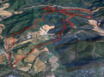
14.3 km | 19.8 km-effort
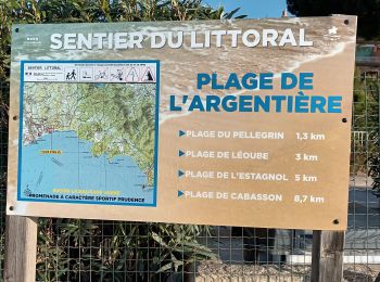
La Londe-les-Maures: Discover the best trails: 162 hiking trails and 54 bike and mountain-bike routes. All these trails, routes and outdoor activities are available in our SityTrail applications for smartphones and tablets.
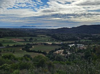
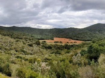
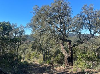
Walking


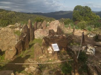
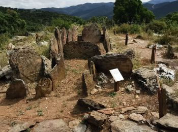
• Dolmen de Gautaby
Walking
Walking

Walking
• Facile
Walking
Walking
Walking
Walking
Walking
Walking
Motorbike
Walking
Walking
Walking
Walking
Walking
Walking
Walking
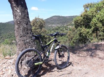
Mountain bike
Walking
20 trails displayed on 225
FREE GPS app for hiking
 SityTrail
IGN / Geographical institutes
SityTrail World
The world is yours!