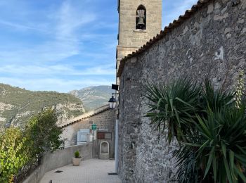
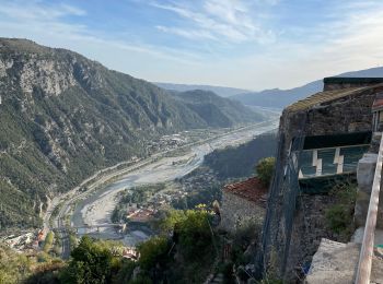
Bonson, Maritime Alps: Best trails, routes and walks

Bonson: Discover the best trails: 10 hiking trails and 3 bike and mountain-bike routes. All these trails, routes and outdoor activities are available in our SityTrail applications for smartphones and tablets.


The best trails (13)
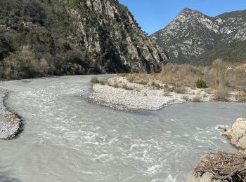
Trail Walking Bonson - Plan du Var-Tourrette du Château  - Photo
Walking 19.072
Km

Walking

Difficult
Bonson, Provence-Alpes-Côte d'Azur, Maritime Alps, France
19.1 km | 35 km-effort
7h 50min
1159 m
1159 m
Yes
ETMU5496

Trail Walking Bonson - Plan du Var : Bosson-Revest les Roches - Photo
Walking 17.311
Km

Walking

Difficult
Bonson, Provence-Alpes-Côte d'Azur, Maritime Alps, France
17.3 km | 33 km-effort
5h 14min
1150 m
1149 m
Yes
ETMU5496

Trail Walking Bonson - Bonson collet st André  - Photo
Walking 17.052
Km

Walking

Very difficult
Bonson, Provence-Alpes-Côte d'Azur, Maritime Alps, France
17.1 km | 32 km-effort
5h 15min
1152 m
1152 m
Yes
jouans

Trail Walking Bonson - Plan du var Le gabre Bosson Revest les roches Bosson Le Gabre Réel - Photo
Walking 16.727
Km

Walking

Very difficult
Bonson, Provence-Alpes-Côte d'Azur, Maritime Alps, France
16.7 km | 31 km-effort
7h 2min
1069 m
1069 m
Yes
jouans

Trail Walking Bonson - BONSON-REVEST LES ROCHES-TOURETTE LE CHATEAU ALLER RETOUR - Photo
Walking 13.623
Km

Walking

Difficult
Bonson, Provence-Alpes-Côte d'Azur, Maritime Alps, France
13.6 km | 24 km-effort
5h 27min
777 m
780 m
Yes
Benteux

Trail Walking Bonson - BONSON REVEST LES ROCHES BONSON - Photo
Walking 8.364
Km

Walking

Medium
Bonson, Provence-Alpes-Côte d'Azur, Maritime Alps, France
8.4 km | 16.2 km-effort
3h 41min
589 m
593 m
Yes
Daniel Benteux

Trail Walking Bonson - La Meute Bonson - Photo
Walking 10.655
Km

Walking

Medium
Bonson, Provence-Alpes-Côte d'Azur, Maritime Alps, France
10.7 km | 18.6 km-effort
3h 55min
599 m
601 m
Yes
DIDIERLESERT

Trail Walking Bonson - De Bonson à Revest les Roches - Photo
Walking 9.541
Km

Walking

Medium
Bonson, Provence-Alpes-Côte d'Azur, Maritime Alps, France
9.5 km | 17.7 km-effort
5h 27min
614 m
618 m
Yes
Thierryrando06

Trail Electric bike Bonson - boucle le Gabre Toudon - Photo
Electric bike 34.561
Km

Electric bike

Very difficult
Bonson, Provence-Alpes-Côte d'Azur, Maritime Alps, France
35 km | 58 km-effort
5h 0min
1734 m
1732 m
Yes
sylvainstaels

Trail Electric bike Bonson - le Gabre Mont vial 2 - Photo
Electric bike 31.847
Km

Electric bike

Very difficult
Bonson, Provence-Alpes-Côte d'Azur, Maritime Alps, France
32 km | 53 km-effort
5h 0min
1620 m
1619 m
Yes
sylvainstaels

Trail Electric bike Bonson - Mont vial depuis le Gabre - Photo
Electric bike 30.671
Km

Electric bike

Difficult
Bonson, Provence-Alpes-Côte d'Azur, Maritime Alps, France
31 km | 53 km-effort
5h 0min
1694 m
1723 m
Yes
sylvainstaels

Trail Walking Bonson - boucle de Revest à partir de  Bonson - Photo
Walking 9.972
Km

Walking

Medium
Bonson, Provence-Alpes-Côte d'Azur, Maritime Alps, France
10 km | 19.4 km-effort
5h 49min
706 m
700 m
Yes
franquen

Trail Running Bonson - bruno rando - Photo
Running 22.546
Km

Running

Difficult
Bonson, Provence-Alpes-Côte d'Azur, Maritime Alps, France
23 km | 51 km-effort
4h 0min
2153 m
2073 m
No
brunotrail06

13 trails displayed on 13

FREE GPS app for hiking

Logo SityTrail SityTrail

IGN / Geographical institutes

Download SityTrail from the App Store Download SityTrail from Google Play

Logo SityTrail SityTrail World

The world is yours!

Download SityTrail from the App Store Download SityTrail from Google Play Download SityTrail on Huawei AppGallery

Activities

Close
My subscriptions