


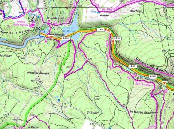
5.5 km | 6.8 km-effort
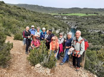
Montagnac-Montpezat: Discover the best trails: 18 hiking trails and 5 bike and mountain-bike routes. All these trails, routes and outdoor activities are available in our SityTrail applications for smartphones and tablets.
Walking


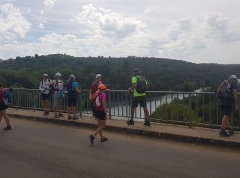
Walking
Walking
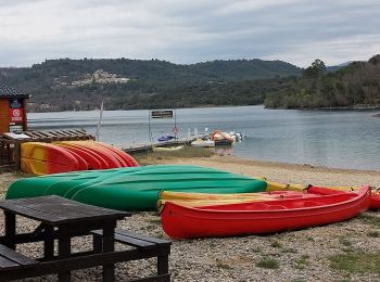
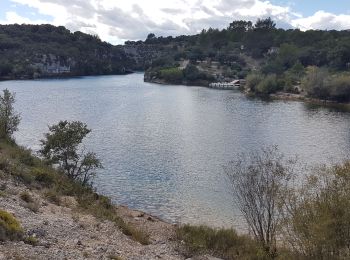
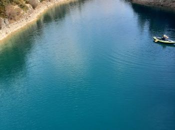
Canoe - kayak
• De Montpezat au pont Sylvestre départ en canoë vers le barrage de St Croix et retour.
Walking
Walking
Walking

Canoe - kayak

On foot

 9.606
9.606
sport

Walking

Mountain bike
Canoe - kayak
Walking
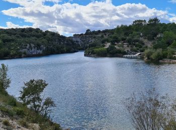
• Faite avec le club le 14/02/2017. Très belles gorges
Walking
•
Canoe - kayak
On foot
On foot
Walking
Canoe - kayak
20 trails displayed on 32
FREE GPS app for hiking
 SityTrail
IGN / Geographical institutes
SityTrail World
The world is yours!