


19.5 km | 30 km-effort
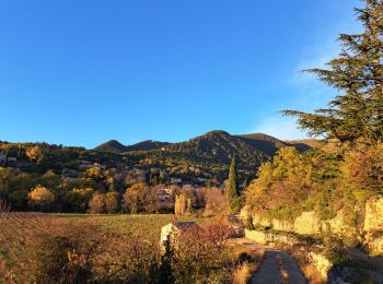
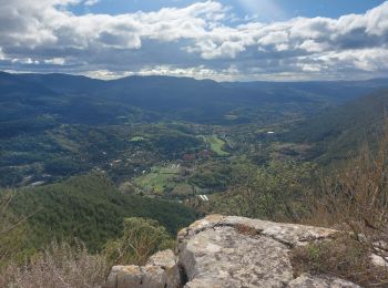
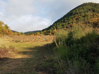
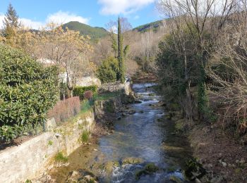
Soubès: Discover the best trails: 36 hiking trails, 3 bike and mountain-bike routes and 1 equestrian circuits. All these trails, routes and outdoor activities are available in our SityTrail applications for smartphones and tablets.
Walking


Walking
Walking
Nordic walking
Walking
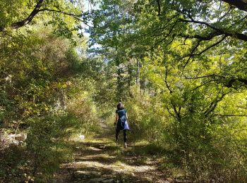
Walking

Walking
Walking

Walking
Walking

Cycle
Walking
Walking
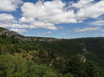
• rando sur le causse et cirque de Gourgas
Walking
Walking
Walking
Walking
• voir des photos sur www.vertygo.org https://goo.gl/photos/r9RkiLmipHmAxiw59
Walking
•

Cycle
• Ballade sur les hauts du lodévois

Horseback riding
20 trails displayed on 41
FREE GPS app for hiking
 SityTrail
IGN / Geographical institutes
SityTrail World
The world is yours!