


16.7 km | 21 km-effort
Charlas: Discover the best trails: 2 hiking trails. All these trails, routes and outdoor activities are available in our SityTrail applications for smartphones and tablets.
Walking


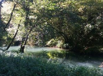
• Belle promenade dans la campagne qui s'achève sur les gorges de la Save (à l'ombre et au frais). La route des gorges ...
Walking
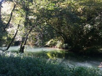
• Belle promenade dans la campagne qui s'achève sur les gorges de la Save (à l'ombre et au frais). La route des gorges ...
2 trails displayed on 2
FREE GPS app for hiking
 SityTrail
IGN / Geographical institutes
SityTrail World
The world is yours!