


18.7 km | 25 km-effort
Prades: Discover the best trails: 20 hiking trails and 6 bike and mountain-bike routes. All these trails, routes and outdoor activities are available in our SityTrail applications for smartphones and tablets.
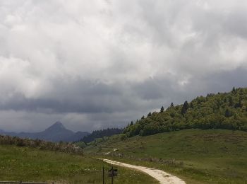
Walking


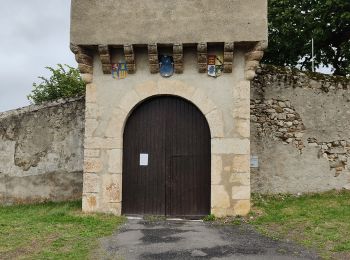
Walking
Walking
Mountain bike
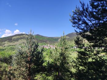
Walking

Walking
Walking
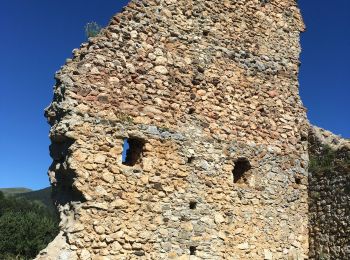
Walking
Walking
Mountain bike
Mountain bike
Mountain bike
Mountain bike
Walking
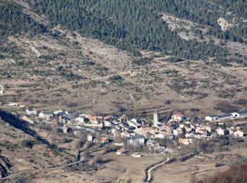
• Espace VTT - FFC Vallées d’Ax Circuit officiel labellisé par la Fédération Française de Cyclisme. Après avoir sillonn...
Walking
Walking
Walking
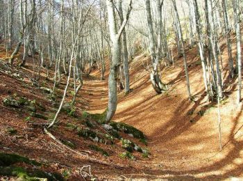
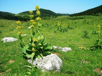
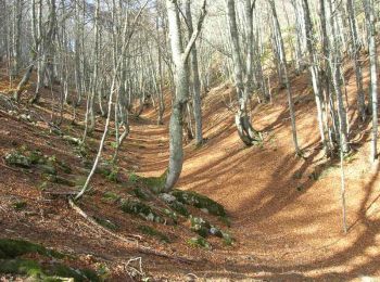
• Boucle avec montée au rocher de Scaramus, sans difficulté particulière.

Snowshoes
Snowshoes
Walking
20 trails displayed on 29
FREE GPS app for hiking
 SityTrail
IGN / Geographical institutes
SityTrail World
The world is yours!