


4.9 km | 6.3 km-effort
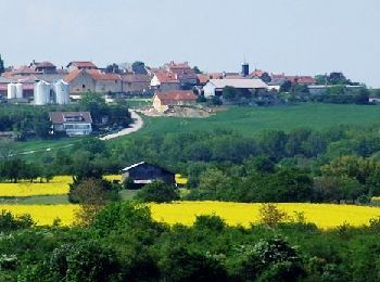
Hauteville-lès-Dijon: Discover the best trails: 15 hiking trails and 1 bike and mountain-bike routes. All these trails, routes and outdoor activities are available in our SityTrail applications for smartphones and tablets.
Walking


• Le final est un bord de route ce qui n'est pas très cool. Mais bon...
On foot
• Trail created by Grand Dijon.

Walking
Walking
Walking
Walking
Walking
Walking
Walking
• .
Walking
• .

Running
•

Mountain bike

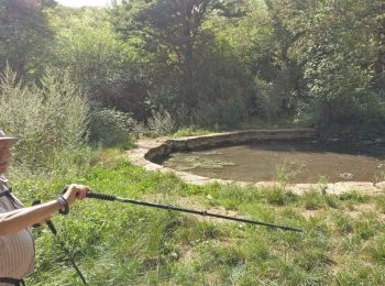
Nordic walking
Nordic walking
Walking
Other activity
Other activity
Walking
18 trails displayed on 18
FREE GPS app for hiking
 SityTrail
IGN / Geographical institutes
SityTrail World
The world is yours!