


10 km | 14.2 km-effort
Highland: Discover the best trails: 62 hiking trails. All these trails, routes and outdoor activities are available in our SityTrail applications for smartphones and tablets.

Walking


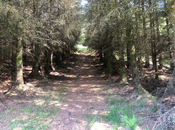
Walking

Other activity

Other activity
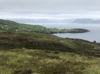
Walking

Walking
 11.702
sport
Walking
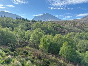
Walking

Walking
Walking
• Easy
Walking
• 426:57 - 22.1km
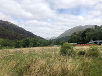
Walking
• frais et brouillard en écosse
Trail

Trail
Trail
Walking

Sailboat

On foot
• GPX file from Walkhighlands; file is copyright Walkhighlands and must not be publicly shared on other websites. Do no...

Walking
20 trails displayed on 70
FREE GPS app for hiking
 SityTrail
IGN / Geographical institutes
SityTrail World
The world is yours!