


9.7 km | 11.6 km-effort

User


FREE GPS app for hiking
 SityTrail
IGN / Geographical institutes
SityTrail World
The world is yours!
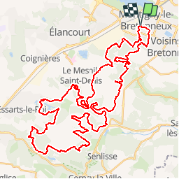
Trail Mountain bike of 60 km to be discovered at Ile-de-France, Yvelines, Montigny-le-Bretonneux. This trail is proposed by tracegps.
11 Septembre 2005 Après 1,2km de roulage sur le bitume, on rentre sous le couvert des arbres de la forêt Domaniale de Port Royal. On y cheminera durant 5km sur des sentiers sympas et quelques allées planes, longeant un instant le circuit J.P. Beltoise par un single en lisière de forêt..... La suite est ICI


Walking

Walking

Walking
Walking

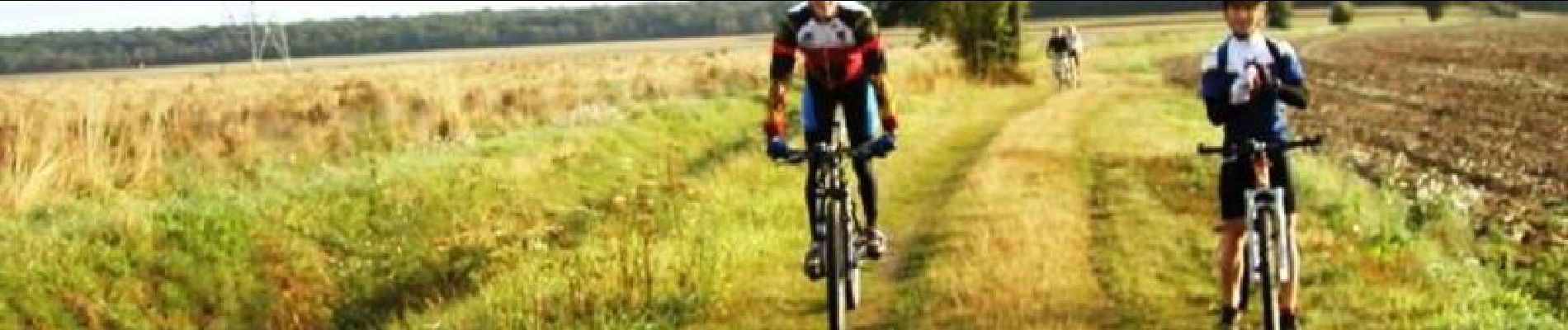
Mountain bike
Mountain bike
Running
Walking
On foot