Trail Mountain bike Fondremand - Fondremand Ouest - Photo
 tracegps
tracegps

User

© OpenStreetMap contributors
Length
Length
21 km
Max alt
Max alt
411 m
Uphill gradient
Uphill gradient
477 m
Km-Effort
Km-Effort  
27 km
Min alt
Min alt
246 m
Downhill gradient
Downhill gradient
478 m
Boucle
Boucle
Yes
Creation date :
2014-12-10 00:00:00.0
Updated on :
2014-12-10 00:00:00.0

(1 Reviews)

Mountain bike
Mountain bike
2h15
Difficulty : Difficult

Scan this QR Code to open this trail in the SityTrail application

FREE GPS app for hiking

Logo SityTrail SityTrail

IGN / Geographical institutes

Download SityTrail from the App Store Download SityTrail from Google Play

Logo SityTrail SityTrail World

The world is yours!

Download SityTrail from the App Store Download SityTrail from Google Play Download SityTrail on Huawei AppGallery

About

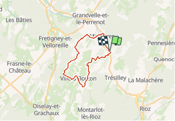
Trail Mountain bike of 21 km to be discovered at Bourgogne-Franche-Comté, Haute-Saône, Fondremand. This trail is proposed by tracegps.

Description

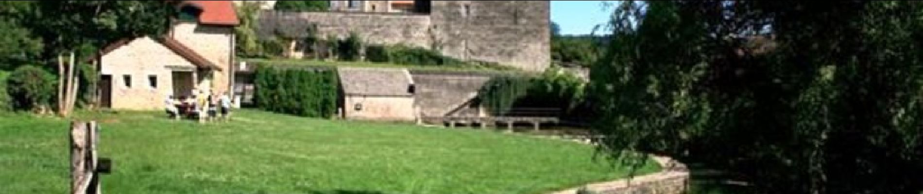
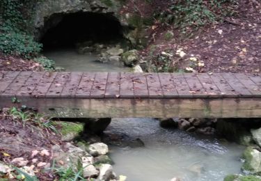
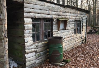
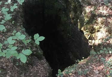
Ce circuit est superbe. Il n'y a pas de point de vue en particulier, mais tout le long du circuit se fait dans de petits sentiers, dans les bois, sur la route, dans les champs. Chaque petit recoin est sympa et beau à voir. C'est un circuit qui est très vallonné, il faut avoir de bonnes jambes. Le balisage est bien suivi.

Elevation profile

Photos

Positioning

Country:
France
Region :
Bourgogne-Franche-Comté
Department/Province :
Haute-Saône
Municipality :
Fondremand
Location:
Unknown
Start:(UTM)
275696 ; 5262358 (32T) N.

Comments

Please log in to post a review or rate the element


Trails nearby

Trail Walking Trésilley -  Tresilley  19 nov 2019 CAF - Photo
Walking
TRIMAILLE

Walking

Difficult
Trésilley, Bourgogne-Franche-Comté, Haute-Saône, France
20 km | 26 km-effort
6h 52min
Yes
Trail Walking Fondremand - Fondremand, petite cité comtoise de caractère - Photo
Walking
tracegps

Walking

Easy
Fondremand, Bourgogne-Franche-Comté, Haute-Saône, France
2.5 km | 3.7 km-effort
1h 0min
Yes
Trail Walking Maizières - Maizière-Gy - Photo
Walking
dagobert5612

Walking

Easy
Maizières, Bourgogne-Franche-Comté, Haute-Saône, France
25 km | 32 km-effort
6h 39min
No
Trail Walking Rioz - 2020-01-16_08h26m36 - Photo
Walking
TRIMAILLE

Walking

Difficult
Rioz, Bourgogne-Franche-Comté, Haute-Saône, France
18.5 km | 24 km-effort
5h 6min
Yes
Trail Walking Fondremand - Gouffre de rouge terre - Photo
Walking
nicolasdresse

Walking

Fondremand, Bourgogne-Franche-Comté, Haute-Saône, France
6.8 km | 8.5 km-effort
1h 56min
No
Trail Walking Fondremand - le gouffre de rouge terre  - Photo
Walking
nicolasdresse

Walking

Very easy
Fondremand, Bourgogne-Franche-Comté, Haute-Saône, France
6.3 km | 7.8 km-effort
1h 6min
No
Trail Walking Mailley-et-Chazelot - Bois noroy  - Photo
Walking
nicolasdresse

Walking

Medium
Mailley-et-Chazelot, Bourgogne-Franche-Comté, Haute-Saône, France
5.5 km | 7 km-effort
1h 35min
Yes
Trail Walking Trésilley - de tresilley  a villers bouton - Photo
Walking
gerardmicheline

Walking

Very difficult
Trésilley, Bourgogne-Franche-Comté, Haute-Saône, France
21 km | 27 km-effort
6h 10min
Yes
Trail Walking Mailley-et-Chazelot - MAILLEY - Le grand bois, gouffre de rouge terre - Photo
Walking
nicolasdresse

Walking

Easy
Mailley-et-Chazelot, Bourgogne-Franche-Comté, Haute-Saône, France
4.2 km | 5.5 km-effort
1h 14min
Yes


Close
My subscriptions