


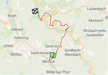

10.3 km | 16.4 km-effort

User


FREE GPS app for hiking
 SityTrail
IGN / Geographical institutes
SityTrail World
The world is yours!
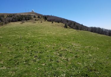
Trail Walking of 19.9 km to be discovered at Grand Est, Haut-Rhin, Moosch. This trail is proposed by tracegps.
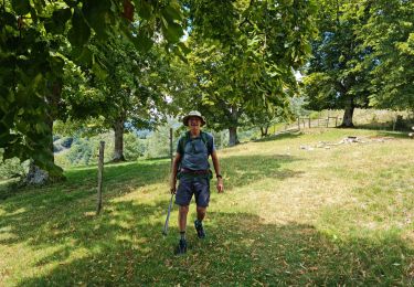
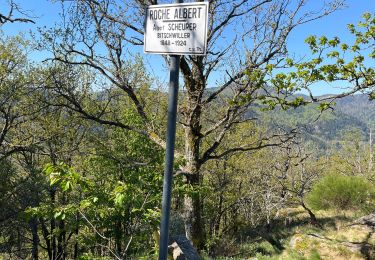
Le Tour des Lacs des Vosges est une magnifique boucle de 7 jours à 9 j, modulable et inédite. Un beau projet de randonnée, à faire en été, au printemps et en automne, cohérent, avec des possibilités de fractionner la boucle en fonction des hébergements et moyens d'accès et du temps dont on dispose. Moosch - Le Markstein - Tour des Lacs des Vosges – Etape 1 « Quelques dizaines de pas jusqu’au passage à niveau: à droite c’est la montée au Col du Haag et du Grand Ballon, à gauche, le centre du village, la boulangerie avec un délectable croissant, complément énergétique indispensable pour affronter la dénivelée imminente, mon sommaire petit déjeuner avalé à la va-vite trois heures plus tôt n’étant plus qu’un souvenir. A présent, la tournée des lacs peut commencer. » La suite du récit est ICI.


On foot
Walking

Walking
Walking
Walking
Walking
Walking
Walking
Walking