


15.7 km | 19.3 km-effort


User


FREE GPS app for hiking
 SityTrail
IGN / Geographical institutes
SityTrail World
The world is yours!
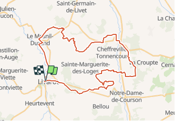
Trail Mountain bike of 41 km to be discovered at Normandy, Calvados, Livarot-Pays-d'Auge. This trail is proposed by tracegps.
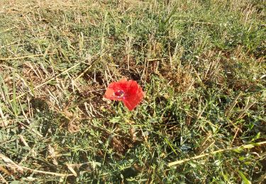
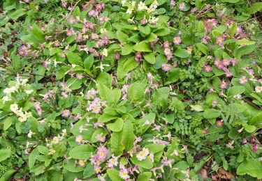
Un parcours assez roulant au début mais qui se corse un peu dans son milieu. Un dénivelé de 785 Mètres tout de même donc réservé aux sportifs, quelques passages à gué et des parties très grasses du fait de source, alors même l'été, il faudra laver le "Bike" après la sortie. En même temps, c'est la Normandie. Il y a un chemin au milieu du parcours, avec des orties, des ronces et de l'épine noire, alors attention aux crevaisons. Pour les amateurs de vitesse, ce parcours permet de belles pointes de vitesses dans les descentes à plus de 50 Km/H. Bonne randonnée.
Walking
On foot

On foot
Geocaching
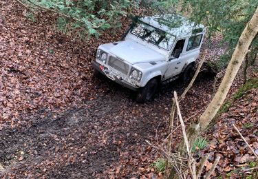
4x4
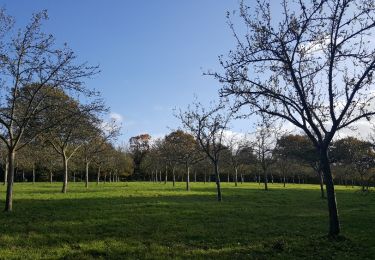
Walking

On foot
Walking
Des chemins sont fermés suite au manque d'entretien volontaire des propriétaires des champs voisins...bref, ils se les ont accaparé pour ne plus voir passer de VTT, Quad, randonneurs et faire passer leurs vaches. Je vais voir pour ne pas laisser ça là!