


19.1 km | 36 km-effort

User


FREE GPS app for hiking
 SityTrail
IGN / Geographical institutes
SityTrail World
The world is yours!
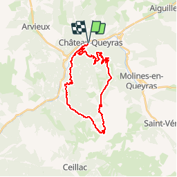
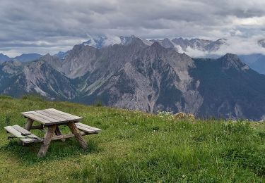
Trail Mountain bike of 28 km to be discovered at Provence-Alpes-Côte d'Azur, Hautes-Alpes, Château-Ville-Vieille. This trail is proposed by tracegps.
Site VTT FFC Queyras - Circuit n° 08 - Sommet Bucher. Circuit officiel labellisé par la Fédération Française de Cyclisme. Au départ de Château-Queyras, la montée est longue et régulière pour approcher l’antenne. La suite, alterne sentiers et pistes forestières où quelques passages techniques nécessiteront du portage. Un single intéressant, rejoignant Montbardon est assez roulant avec quelques racines et embuches. Pour finir, on rejoint le point de départ par la piste. A noter : Attention, danger signalé aux ravines de ruine blanche. *L’Office de tourisme du Queyras décline toute responsabilité en cas de modification des tracés sur le terrain et en cas d’aléas dus à des conditions naturelles imprévisibles. Pour les itinéraires non décrits sur ce document, se reporter au topo guides existants et aux cartes du secteur. Office de tourisme du Queyras 05470 Aiguilles tél 33 (0) 4 92 46 76 18 - info(at)queyras-montagne.com


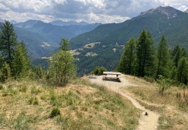
Walking

Mountain bike
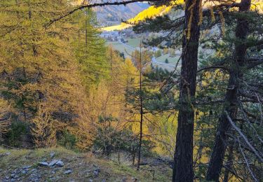
Walking

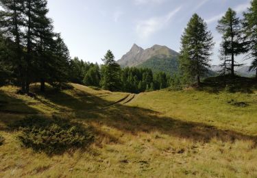
Walking
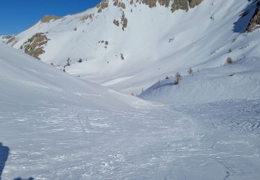
Snowshoes
Walking
Walking
Walking
Walking