


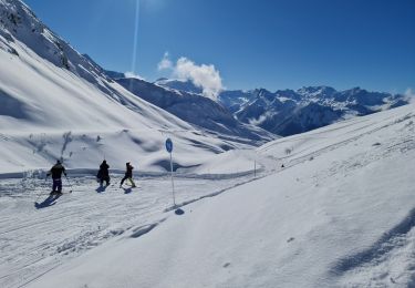
9.4 km | 13.8 km-effort


User


FREE GPS app for hiking
 SityTrail
IGN / Geographical institutes
SityTrail World
The world is yours!
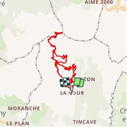
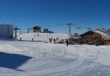
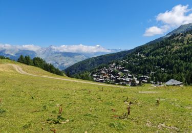
Trail Walking of 17.3 km to be discovered at Auvergne-Rhône-Alpes, Savoy, Bozel. This trail is proposed by tracegps.
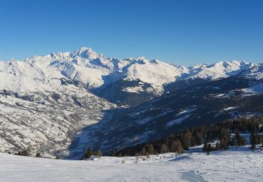
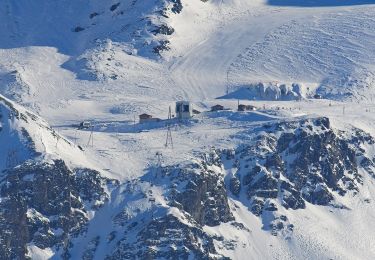
De Bozel, prenez la direction Des Molinets, des Monts, puis "la Cour" - Départ au parking de la Cour, prenez à droite en direction de "La Plaz", Mirabozon et montez jusqu'au refuge du Mont Jovet puis montez jusqu'au Mont Jovet. Table d'orientation au sommet et point de vue sur 360° exceptionnel sur la Tarentaise, La Vanoise, le Mont Blanc, les Écrins, sur la vallée de Bourg St Maurice, Bozel. Attention au dénivelés positifs 1200 mètres pour les 11 km de montée.
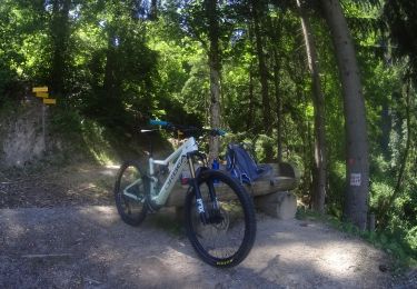
Mountain bike
On foot
On foot
On foot
Walking

Walking
Snowshoes
Snowshoes
Walking
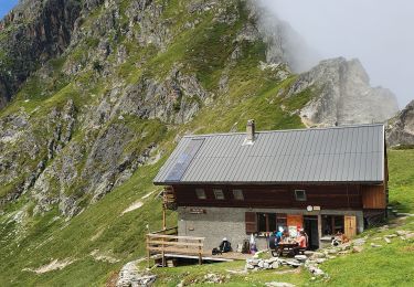
Cadre MAGNIFIQUE il est possible de monter par plusieurs chemins selon sa condition.En tout cas, là haut c'est GRANDIOSE sur 360°