


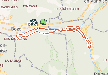

4.3 km | 10.4 km-effort

User GUIDE


FREE GPS app for hiking
 SityTrail
IGN / Geographical institutes
SityTrail World
The world is yours!
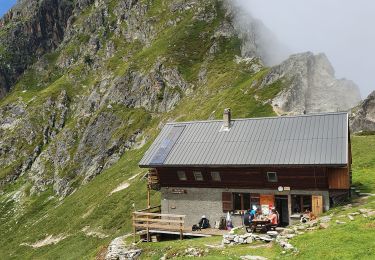
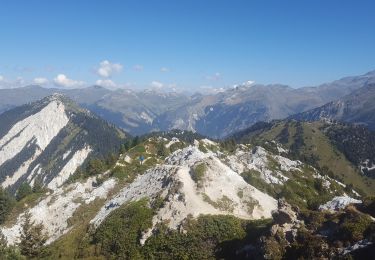
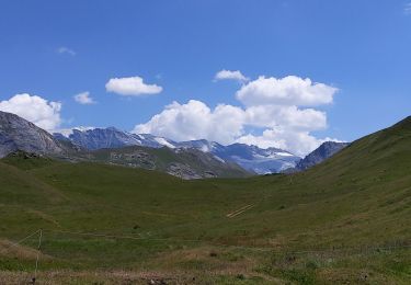
Trail Mountain bike of 9.4 km to be discovered at Auvergne-Rhône-Alpes, Savoy, Bozel. This trail is proposed by pascalou73.
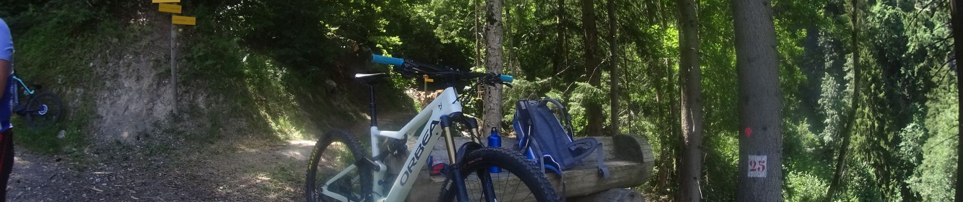
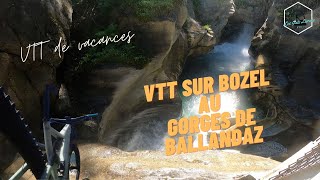
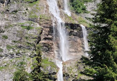
Voilà un VTT d'E dans la Vanoise une très belle randonnée que j'ai modifiée pour aller voire de très belles gorges vous pouvez aussi ne faire que la randonnée du petit tour en remontant le Doron .la petite fait 7 km .Pour le grand tour il y a du portage pour arriver aux gorges.
 - Photo 2")
 - Photo 3")
 - Photo 4")
 - Photo 5")
 - Photo 6")
 - Photo 7")
 - Photo 8")
Walking
Walking

Walking
Walking
Walking
Walking
Walking
Walking
Walking