


20 km | 0 m-effort

User


FREE GPS app for hiking
 SityTrail
IGN / Geographical institutes
SityTrail World
The world is yours!
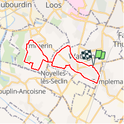
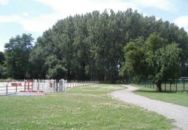
Trail Walking of 12.2 km to be discovered at Hauts-de-France, Nord, Wattignies. This trail is proposed by tracegps.
Circuit proposé par le Comité Départemental du Tourisme du Nord. Départ de l’église St Lambert de Wattignies. Sur le site des marais d'Emmerin cheminez autour des points de captage d'eau potable de la métropole Lilloise. Retrouvez cette randonnée sur le site du Comité Départemental du Tourisme du Nord. Ce circuit a été numérisé par les randonneurs du CODEPEM.
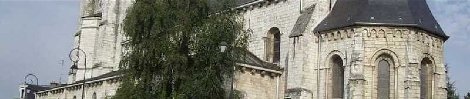
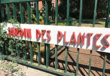
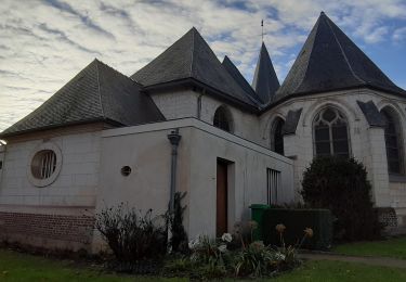
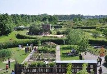
 - Photo 1")
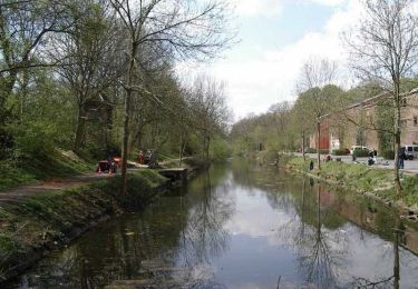
 - Photo 2")
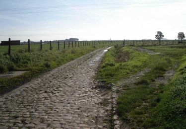
 - Photo 3")
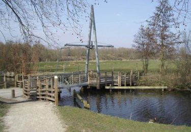
 - Photo 4")
 - Photo 5")
 - Photo 6")
Walking
Walking

Walking

Roller skating
Walking
Cycle
Walking
Walking
Walking