


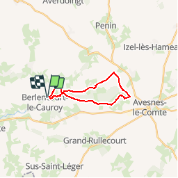

11.8 km | 12.9 km-effort


User


FREE GPS app for hiking
 SityTrail
IGN / Geographical institutes
SityTrail World
The world is yours!
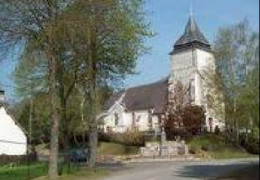
Trail Walking of 15.2 km to be discovered at Hauts-de-France, Pas-de-Calais, Berlencourt-le-Cauroy. This trail is proposed by tracegps.
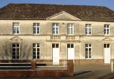
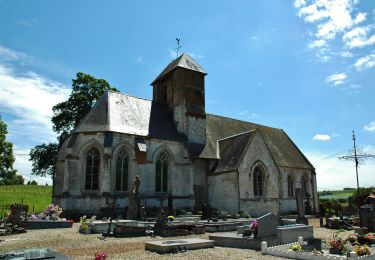
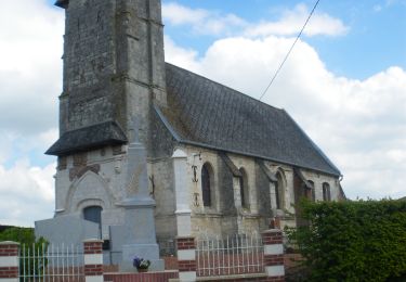
Circuit proposé par la Communauté de Communes des 2 Sources. Départ de l’église St Sulpice de Berlencourt. En 1944 un habitant de Blavincourt témoigne : « En 1852 un maçon revenant de Grand-Rullecourt fut suivi jusqu’à Blavincourt par un loup, qu’il prit au départ pour un gros chien. Là, en entrant dans la première ferme du village, le loup, d’une quarantaine de kilos, fut tué à coup de fourche. ».Retrouvez le circuit et son descriptif sur le site de la Communauté de Communes des 2 Sources.
 - Photo 1")
 - Photo 2")
 - Photo 3")
 - Photo 4")
Walking
Walking
Walking

Walking
Walking

Walking
Walking
Walking
Walking