


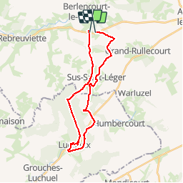


11.8 km | 12.9 km-effort


User


FREE GPS app for hiking
 SityTrail
IGN / Geographical institutes
SityTrail World
The world is yours!
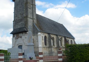
Trail Walking of 23 km to be discovered at Hauts-de-France, Pas-de-Calais, Berlencourt-le-Cauroy. This trail is proposed by alain62rando.
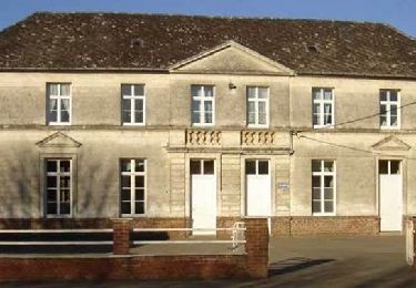
Walking
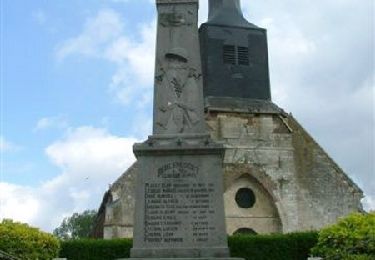
Walking
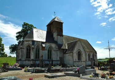
Walking
Walking

Walking

Walking

Walking

Walking
Walking