


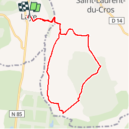


11.8 km | 19.7 km-effort


User


FREE GPS app for hiking
 SityTrail
IGN / Geographical institutes
SityTrail World
The world is yours!
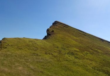
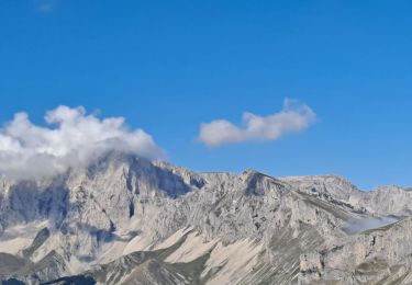
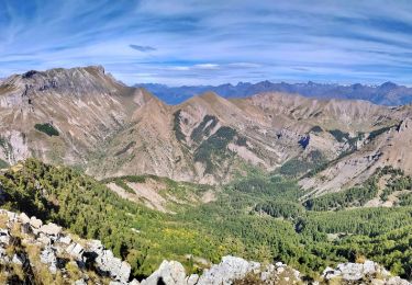
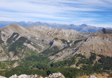
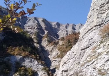
Trail Walking of 9.3 km to be discovered at Provence-Alpes-Côte d'Azur, Hautes-Alpes, Laye. This trail is proposed by Dervalmarc.
A proximité du plateau de Bayard on trouve des marais naturels appelés Sagnes en patois local.
Ce milieu présente une grande diversité et une richesse animale et végétale rare, et parfois unique en région paca.
A prox - Photo 1")
A prox - Photo 2")
A prox - Photo 3")
A prox - Photo 4")
A prox - Photo 5")
A prox - Photo 6")
A prox - Photo 7")

Walking
Walking
Walking
Walking
Walking
Walking
Walking
Walking
Walking