


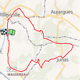

14 km | 16.9 km-effort


User


FREE GPS app for hiking
 SityTrail
IGN / Geographical institutes
SityTrail World
The world is yours!
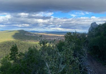
Trail Walking of 10.5 km to be discovered at Occitania, Gard, Sommières. This trail is proposed by guignier.
A partir de la gare suivre les poteaux indicatif..et les reperes jaune on verra une tour en ruine .. les carrieres de Junas .. le chateau de Villevielle..on peut partir du chateau, de Junas, du parking de Sommiere

Walking

Walking

Walking

Electric bike

Walking
Walking
Walking
ttres bien