


155 km | 195 km-effort

User


FREE GPS app for hiking
 SityTrail
IGN / Geographical institutes
SityTrail World
The world is yours!
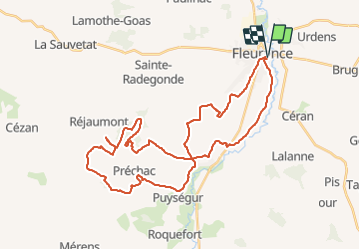
Trail Mountain bike of 43 km to be discovered at Occitania, Gers, Fleurance. This trail is proposed by tracegps.
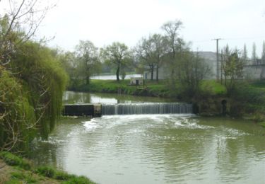
Départ du rond point à coté de la piscine municipale, prendre la direction de Auch après le deuxième rond point prendre une petite route sur la droite. Vous passerez par Haumont où se trouve le Hameau des étoiles. Pour ceux qui aiment les balades au calme la forêt de Réjaumont un écrin de verdure au milieu des terres agricoles.

Mountain bike
Mountain bike
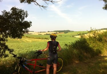
Mountain bike
Walking

Walking

Walking

Walking

Walking

Walking