


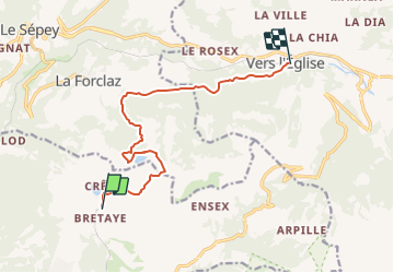

4.5 km | 8 km-effort


User


FREE GPS app for hiking
 SityTrail
IGN / Geographical institutes
SityTrail World
The world is yours!
Trail Other activity of 10.6 km to be discovered at Vaud, District d'Aigle, Ollon. This trail is proposed by heinzwei.
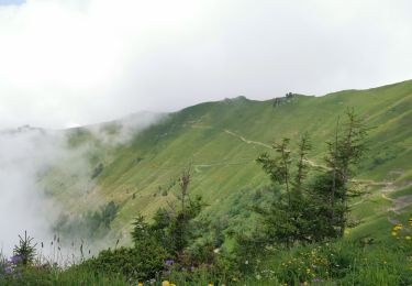
"Une belle balade qui vous mène par les hauts jusqu''au lac des Chavonnes ou le restaurant vous acceuil avec une belle terrasse.
On foot

Walking
Walking

Other activity
Other activity

Walking

Mountain bike
Mountain bike

Running