


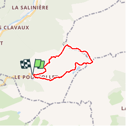

10.3 km | 16.8 km-effort

User


FREE GPS app for hiking
 SityTrail
IGN / Geographical institutes
SityTrail World
The world is yours!
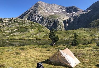
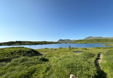
Trail Walking of 10.1 km to be discovered at Auvergne-Rhône-Alpes, Isère, Livet-et-Gavet. This trail is proposed by goizet.


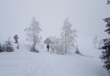
Snowshoes
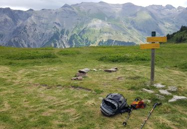
Walking
On foot
On foot
Walking
Walking

Walking
Walking
Walking
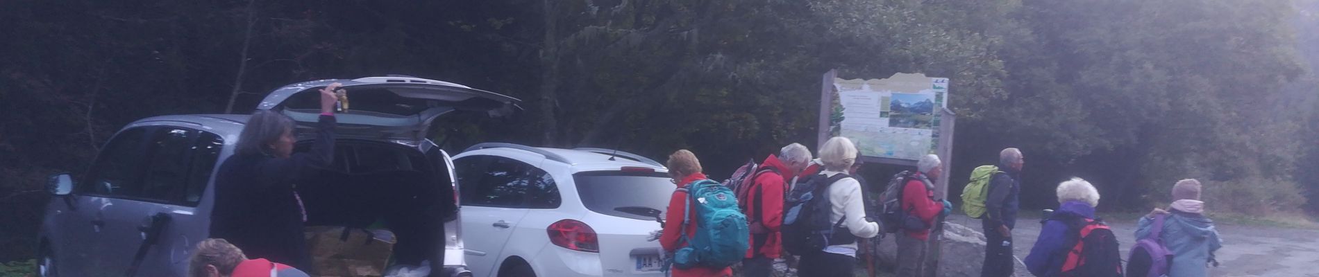
superbe rando, mais faite dans l'autre sens, ce qui donne une montée un peu raide mais plus rapide, et une très belle descente, sympa pour les genoux.