


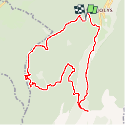

11.1 km | 17.4 km-effort

User


FREE GPS app for hiking
 SityTrail
IGN / Geographical institutes
SityTrail World
The world is yours!
Trail Walking of 11.4 km to be discovered at Auvergne-Rhône-Alpes, Isère, Saint-Christophe-sur-Guiers. This trail is proposed by floup6138.
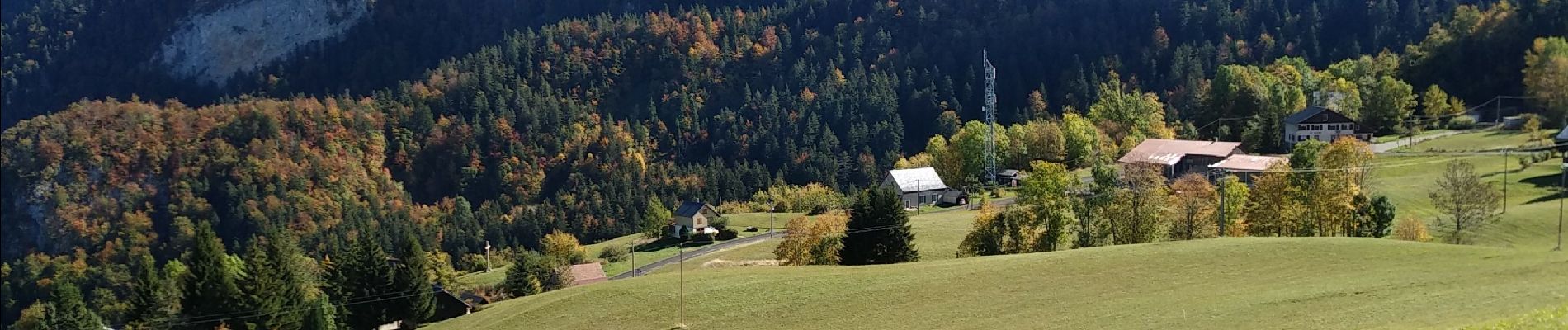
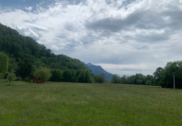
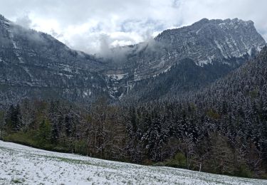
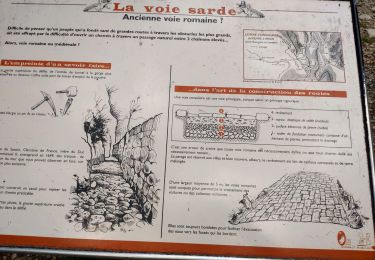
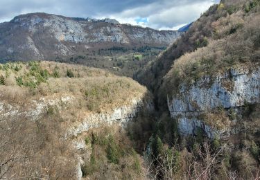
départ du foyer de ski de fond. un peu de route puis montée continue jusqu'au col. quelques beaux paysages.la descente vers le col de la sarriette est difficile si le chemin est humide. Une très belle vue sur la vallée vaut de s'y arrêter. le retour est assez délicat et sur la fin le chemin est malheureusement défoncé par les engins forestiers.


Snowshoes

Walking

Walking

Walking

Walking

sport
Walking
Walking
Walking